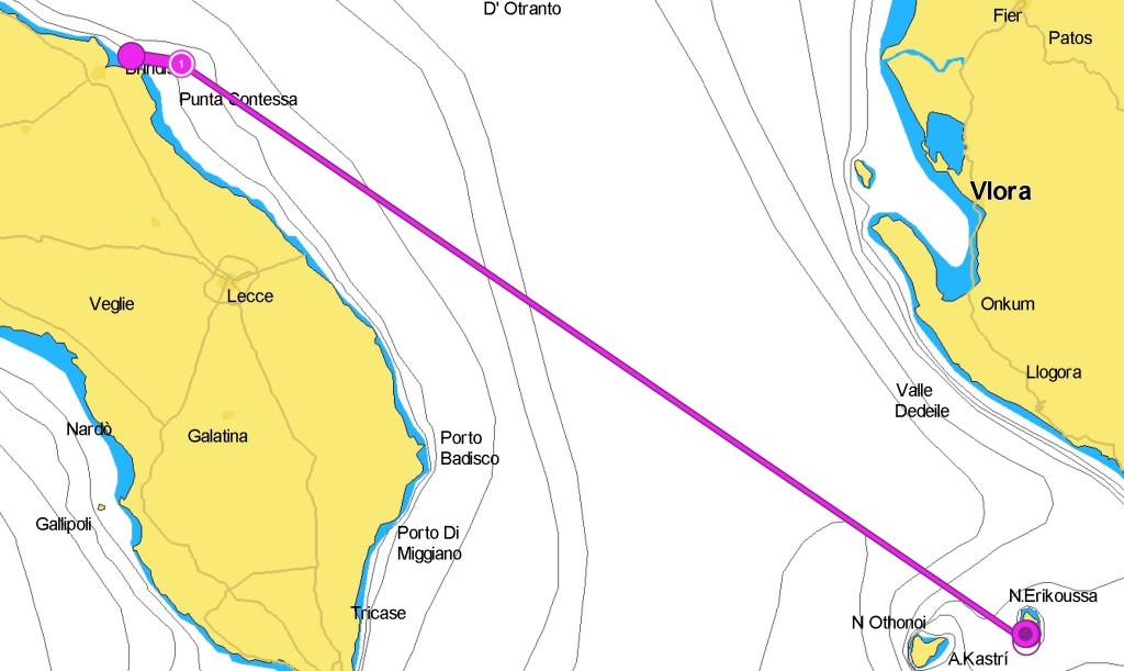
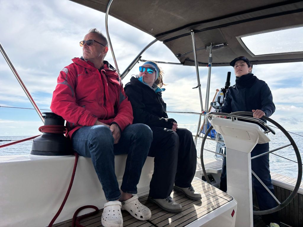
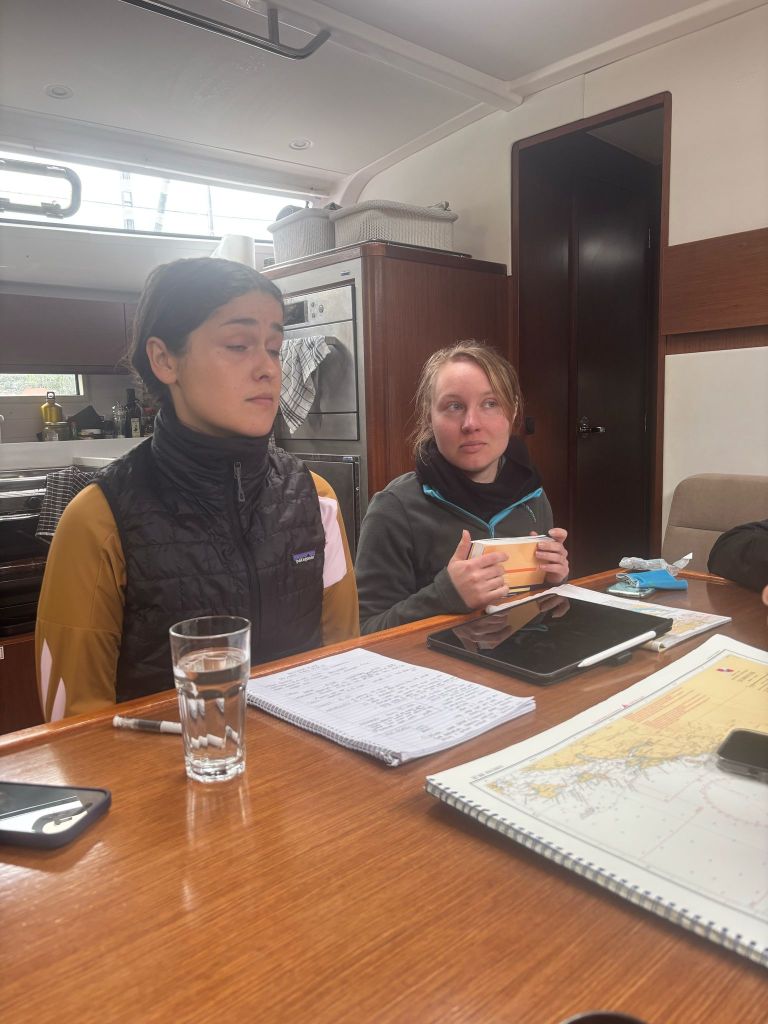
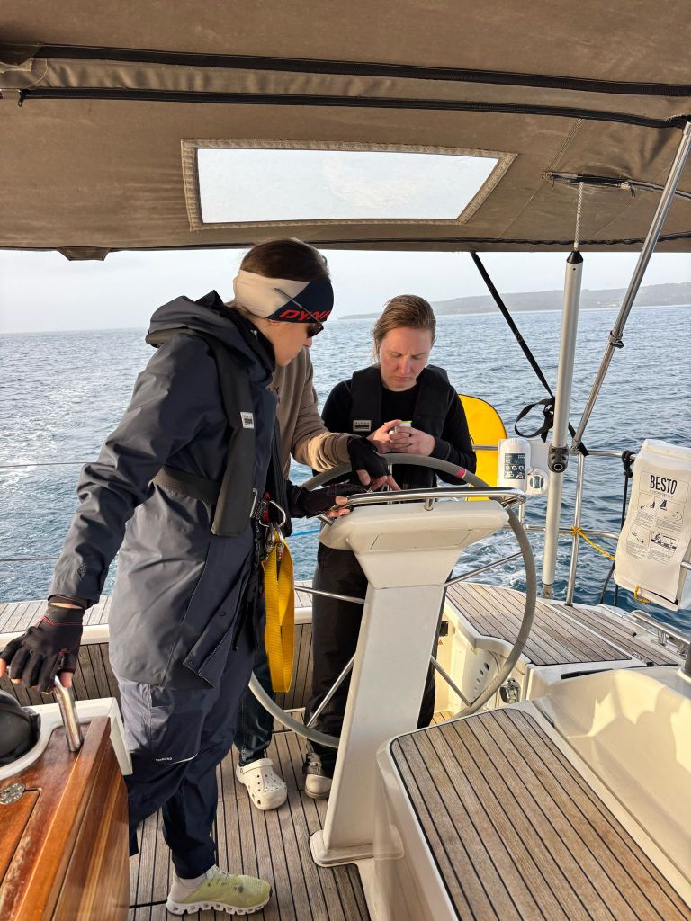
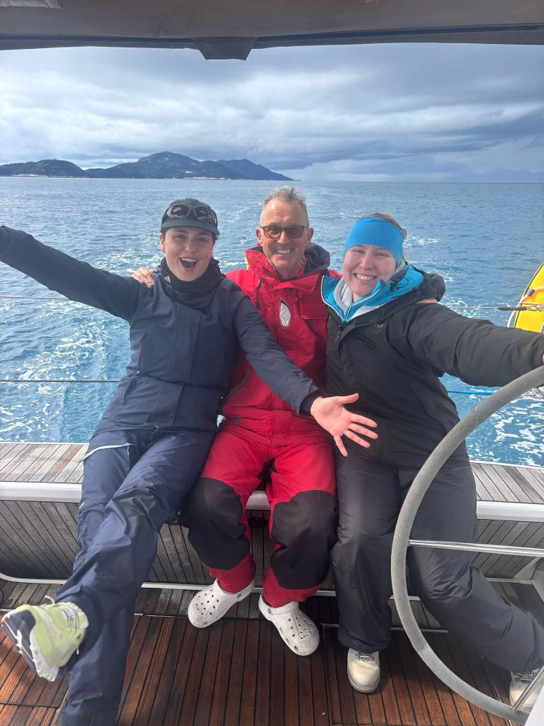
90 Miles separate Brindisi from Erikoussa, a simple crossing, with much traffic from cargo and passenger ships
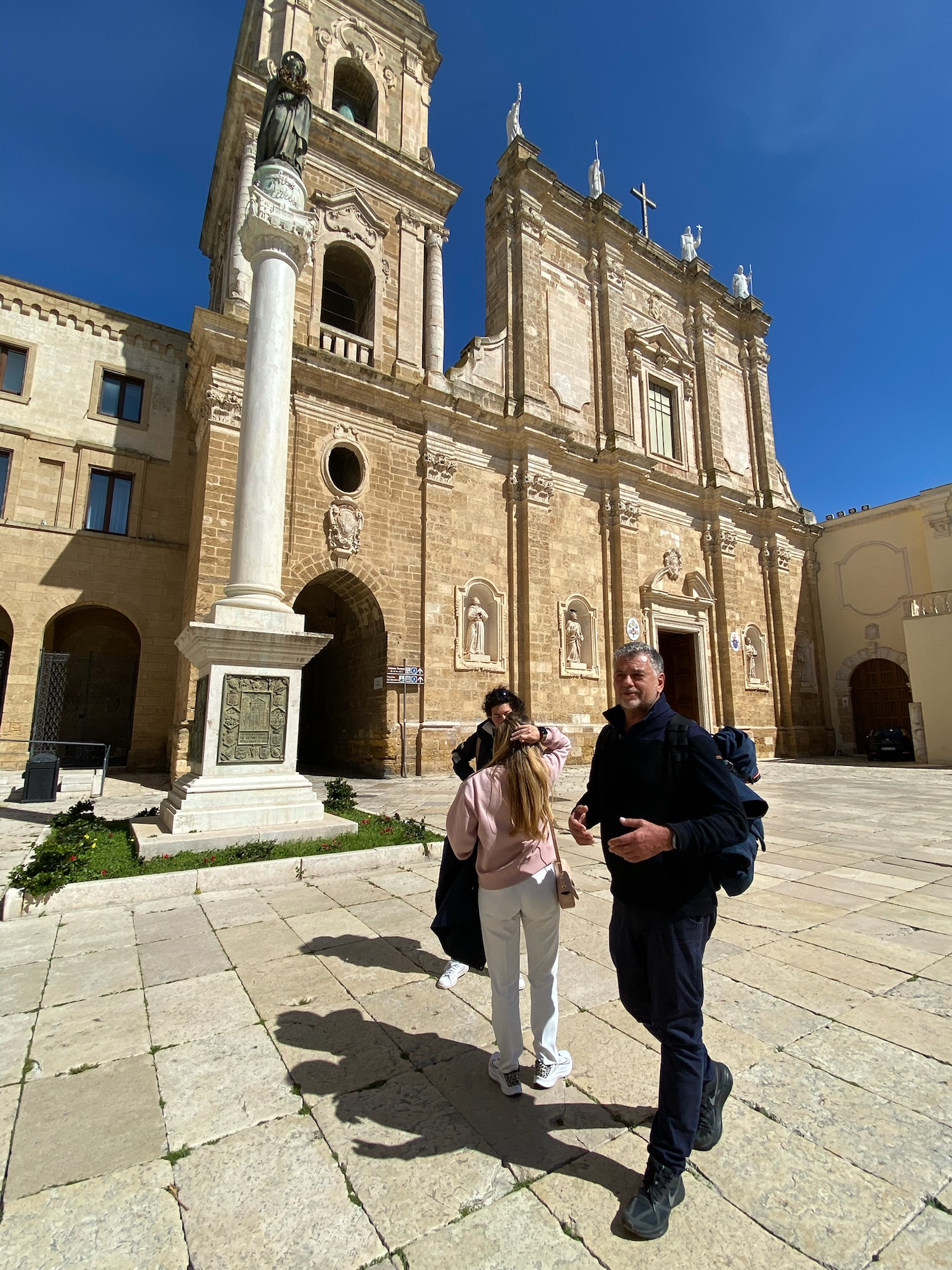
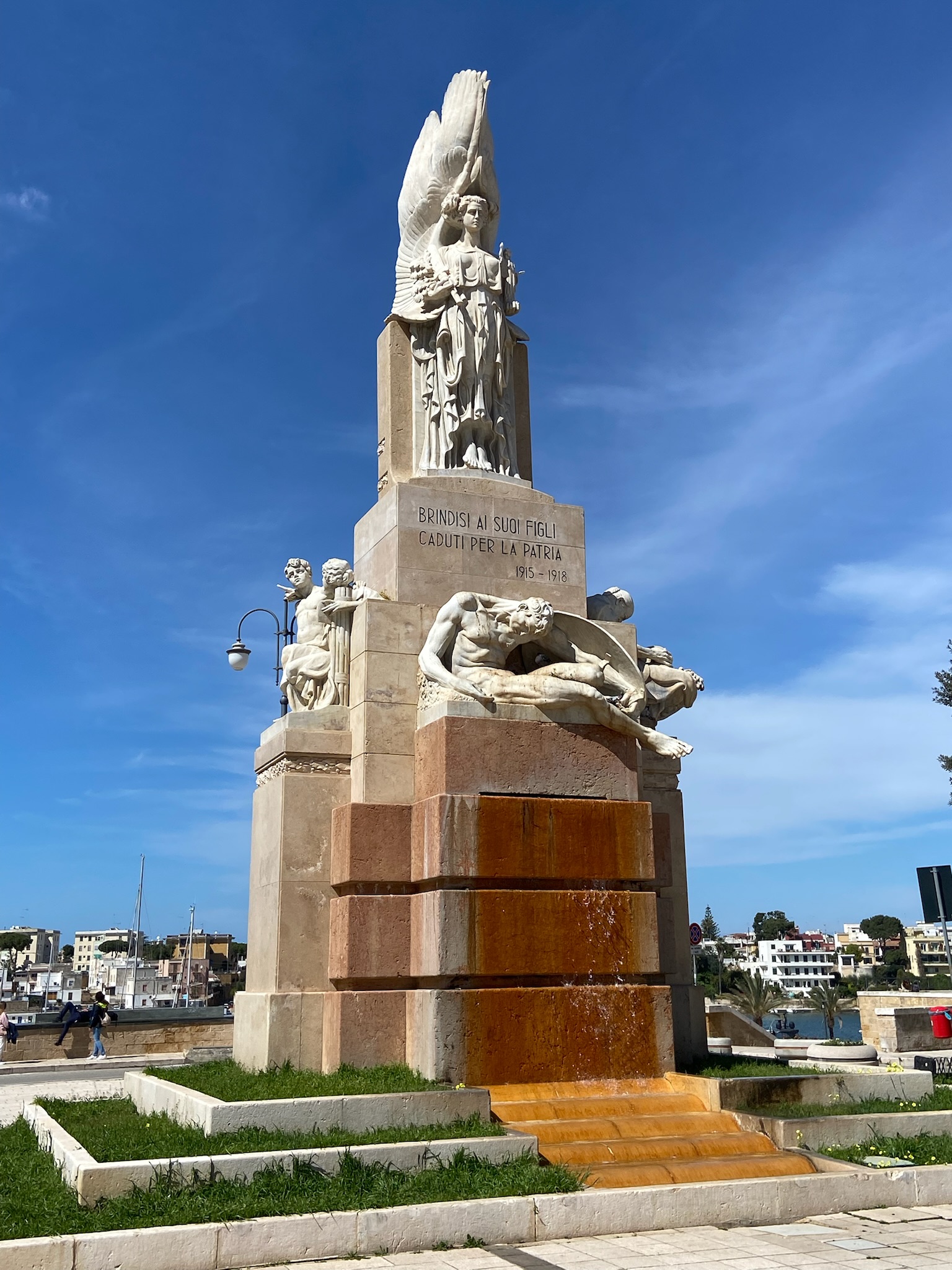
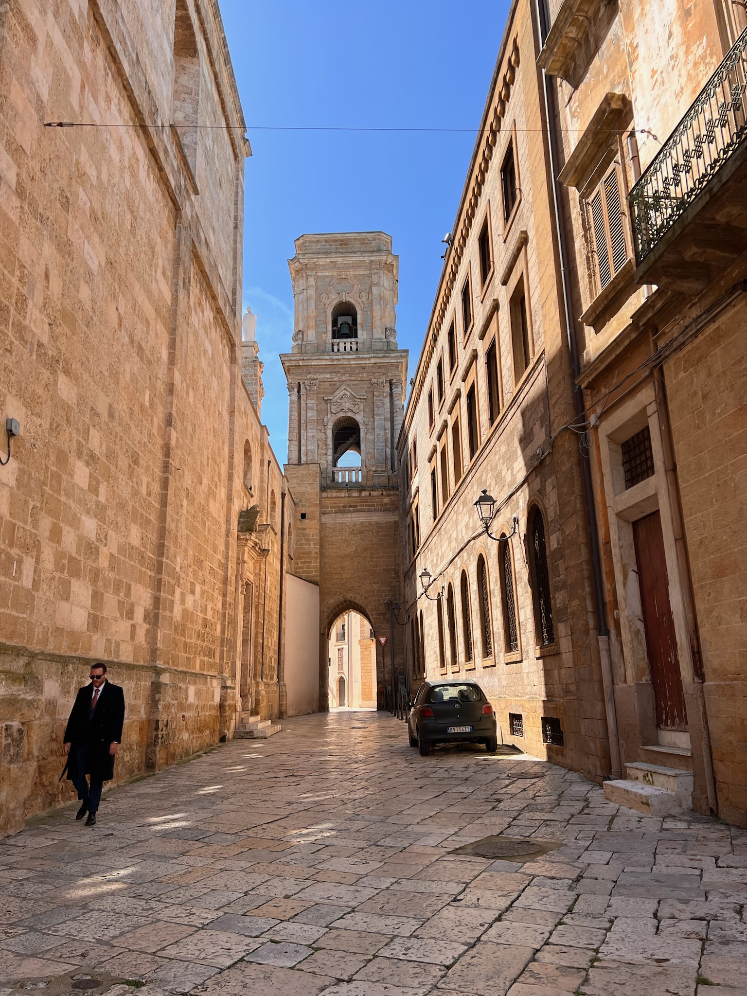
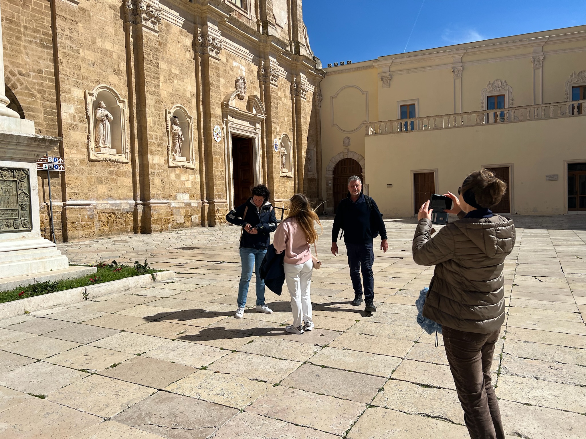
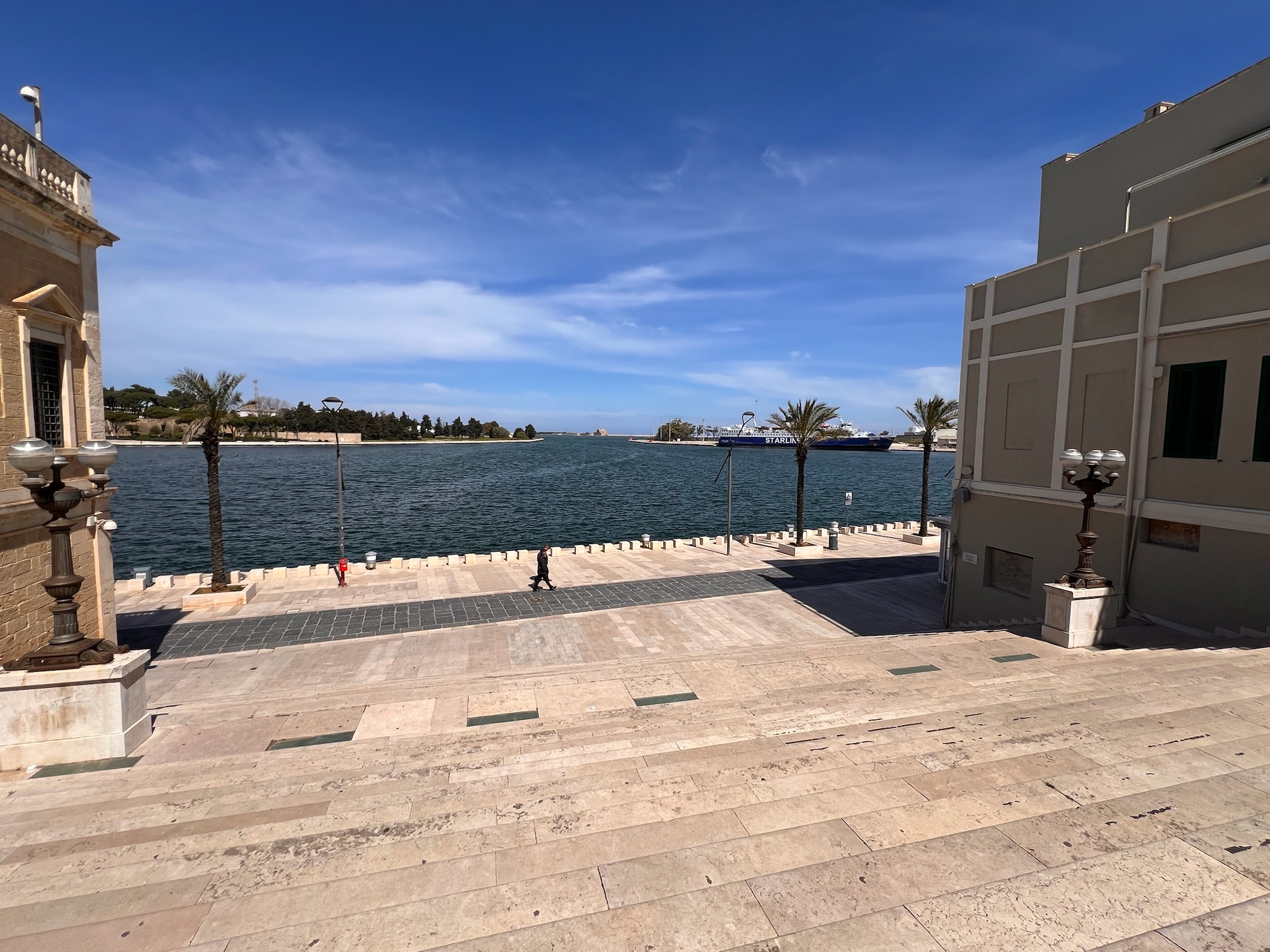
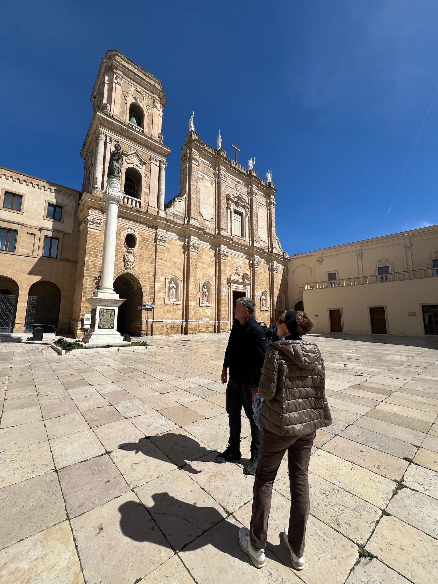
After wasting the whole morning for the check-in procedure, we had a relaxing tour of Brindisi. the old city has some beautiful monuments and scenic views of the huge harbour. We had an outstanding meal at the Windsurf restaurant, in Viale Regina Margherita. Afterward, we returned to the boat for some well-deserved rest. The rest of the crew went back for a scrumptious dinner. The next day’s wake up was at 5:30, with the goal to be outside Brindisi Harbour at 0700.
The plan was respected and everyone was ready to go at 0600.
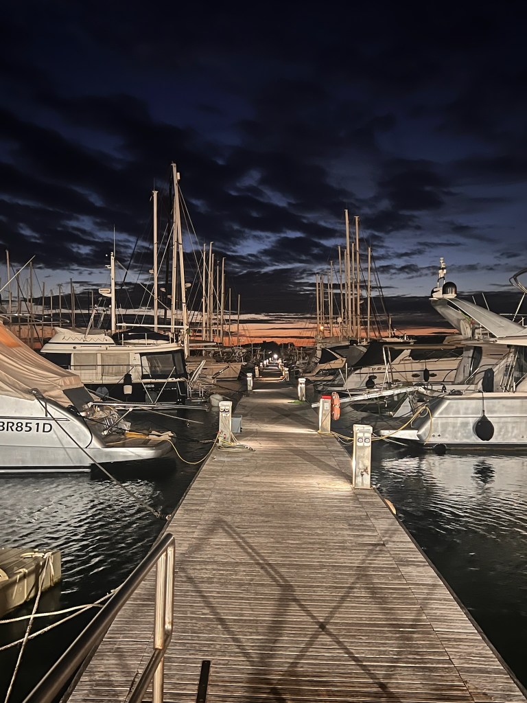
The Marina di Brindisi jetty at 0600
We initially set sail to Othoni. After examining the charts and pilots, we realized that Erikoussa would offer a safer shelter. After leaving the Brindisi Harbour, we kept 100˚ for about 4 M. This was to stay out of the TSS and avoid the shallows south of the breakwater. Then we set the autopilot on 124˚. We sailed 83 M, for more than 10 hours. There was not much to do except check the numerous freighters, fishing vessels, and large passenger ships passing by. One large passenger ship kept changing course, stopping and resuming course. We reckoned that they were probably intent at doing sea trials. Looking SE, the impressive view of the Albanian coast near Vlora.
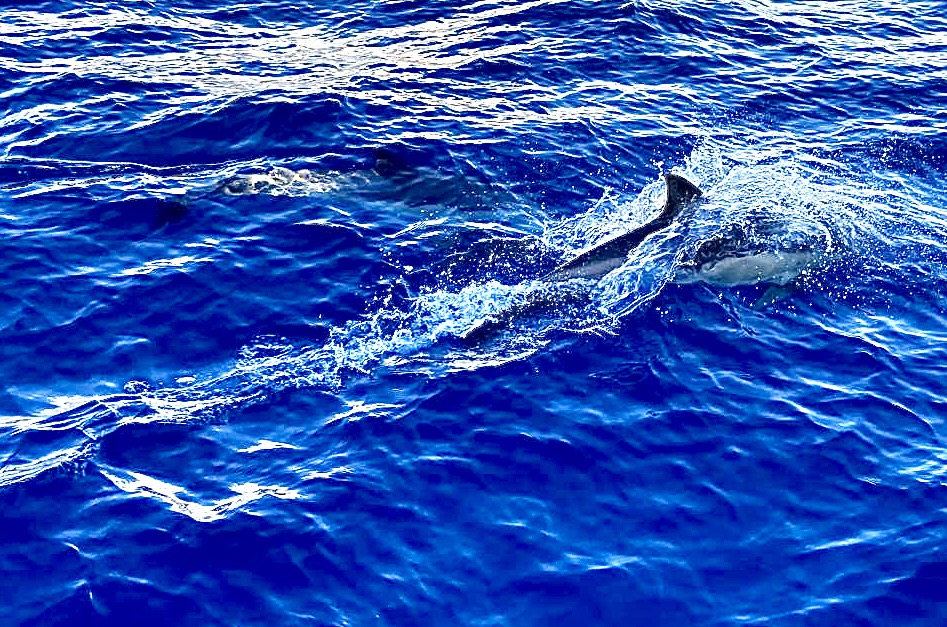
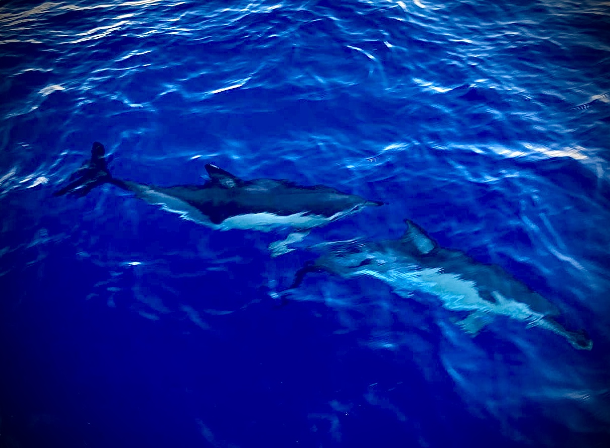
Approaching Erikoussa, towards the end of the day, we were greeted by a pod of dolphins (Delphinus Delphi mediterranea)
Download here the waypoints for this trip – Warning, never use waypoints for navigation without previously validating them on your plotter.
After leaving the inner part of Brindisi’s harbour, and taking care of the islets and rocks that lay S of the breakwater, it is advisable to head E with a 100˚ course to remain out of the TSS, but also of the shallows that border the coast S of the harbour. After 4 M, a new heading of 125˚ will lead you, after 84 M, to the approach of the Erikoussa Harbor. Head N until you see the entrance, contact HM via VHF 69 (during season only)
Haiku of the day
Islands on the breeze, After miles, calm shores appear— Greece, at last, exhale.
Brindisi, nestled on Italy’s southeastern Adriatic coast, is a city where maritime heritage meets Mediterranean charm. For sailors exploring the Ionian and Adriatic seas, Brindisi offers a strategic and welcoming port of call.
The Town
Brindisi boasts a rich tapestry of history, culture, and coastal beauty. Its historic center features narrow alleys, Roman columns, and elegant piazzas. The waterfront promenade, lined with palm trees, offers stunning views of the harbor and is perfect for leisurely strolls. The city’s vibrant atmosphere is complemented by its warm and hospitable residents.
The Harbor
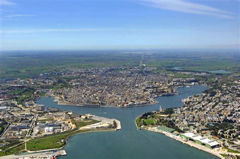
Brindisi’s natural harbor is one of the most sheltered in the Adriatic, divided into the outer, middle, and inner harbors. The inner harbor extends deep into the city, providing excellent protection and easy access to the town center. The harbor accommodates a mix of commercial shipping, ferries, fishing vessels, and recreational boats, making it a bustling maritime hub.
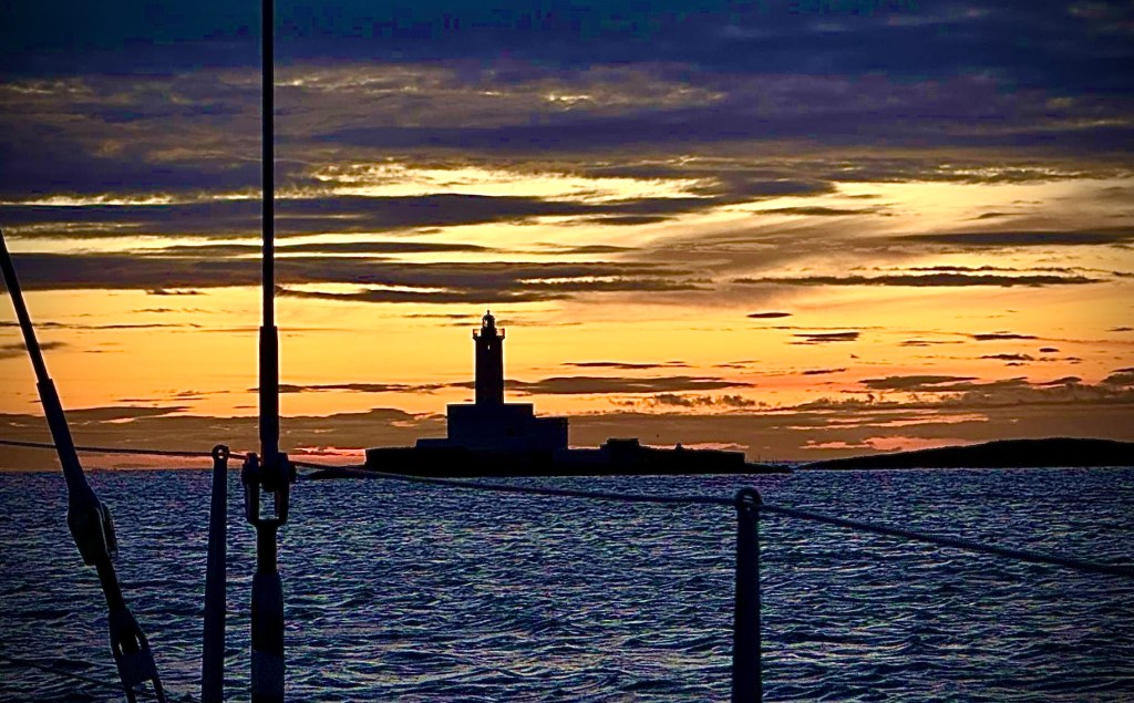
The islets lighthouse seen at dawn
A Brief History
Founded by the Messapians and later colonized by the Romans, Brindisi has long been a critical maritime gateway. It served as the terminus of the Via Appia, connecting Rome to the Adriatic Sea. Throughout history, Brindisi has been under various rulers, including the Byzantines, Normans, and Aragonese, each leaving their mark on the city’s architecture and culture. During World War II, it briefly served as the seat of the Italian government.
Must-See Sights
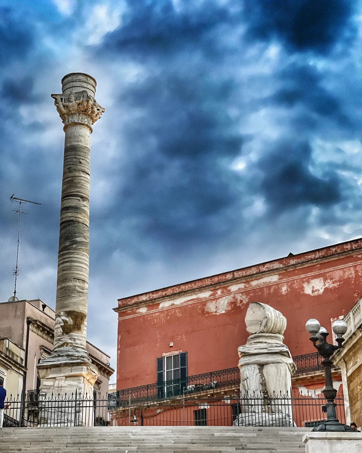
Roman Columns: Symbolizing the end of the Via Appia, these ancient columns overlook the harbor.
Cathedral of Brindisi (Duomo): Originally built in the 11th century, it was reconstructed in the 18th century after an earthquake.
Castello Svevo (Swabian Castle): Built by Emperor Frederick II in the 13th century, this fortress has served various roles, including a royal residence and prison.
Aragonese Castle (Forte a Mare): Located on St. Andrea Island, this 15th-century sea fort is a testament to Brindisi’s strategic importance.
Church of Santa Maria del Casale: A 13th-century church known for its unique Romanesque-Gothic architecture and frescoes.
Logistics and Connections
Brindisi is well-connected by road, rail, sea, and air. The city’s train station connects to major Italian cities. The nearby Salento Airport offers flights to various domestic and international destinations. Ferry services operate from the port to Greece. They also serve other Adriatic destinations. This makes it a convenient point for sailors. It is also ideal for travelers alike.
Brindisi offers a delightful culinary scene with a focus on fresh seafood and traditional Apulian dishes. Restaurants along the waterfront provide scenic views. Their menus feature local specialties like orecchiette pasta, grilled octopus, and fresh burrata cheese. Don’t miss trying the region’s renowned olive oils and wines.
Shopping
The city’s shopping options range from bustling markets to boutique stores. The historic center is dotted with shops selling local crafts, fashion, and gourmet products. For a more extensive shopping experience, the “Centro Commerciale Le Colonne” offers a variety of national and international brands.
Security
Brindisi is generally considered a safe city for residents and visitors. Standard precautions are advisable, especially in crowded areas and at night. The local police are approachable and responsive, ensuring a secure environment for tourists and sailors alike.
Brindisi seamlessly blends historical significance with modern amenities, making it an ideal destination for sailors seeking both adventure and comfort. Its strategic location, rich culture, and welcoming atmosphere ensure a memorable stay for all who anchor here.
A laid back atmosphere, with a sprinkle of Dubai feeling
Tivat
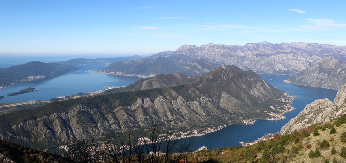
Tivat is nestled along Montenegro’s Adriatic coast. It is a captivating destination for sailors. They seek a blend of historical charm, modern luxury, and nautical convenience. Tivat has a rich maritime heritage. It boasts state-of-the-art marina facilities. Its vibrant cultural scene offers an unparalleled experience for seafarers and travelers alike.
A Glimpse into Tivat’s Maritime Heritage
Tivat’s history is deeply intertwined with the sea. The town is believed to be named after the Illyrian Queen Teuta. She ruled the region in the 3rd century BC. The town has evolved through various civilizations, including Roman, Byzantine, Venetian, Ottoman, and Austro-Hungarian influences. This diverse past has left a mosaic of cultural landmarks and traditions that continue to enrich the town’s identity today.
Sailing into Luxury: Porto Montenegro
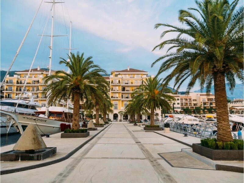
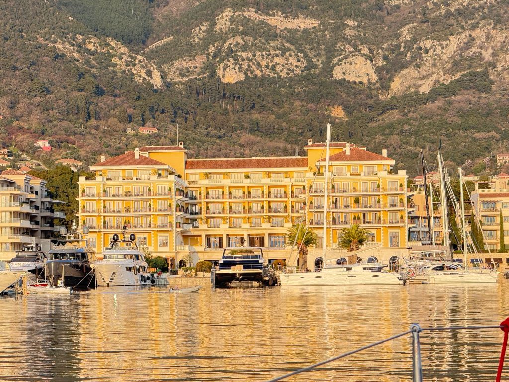
For sailors, Tivat’s crown jewel is Porto Montenegro. This world-class marina has transformed the town into a premier yachting destination. This location was once a naval base. Now, this platinum-rated marina boasts over 450 berths accommodating vessels up to 250 meters. It offers top-tier amenities such as duty-free fuel, 24/7 security, and comprehensive yacht services.
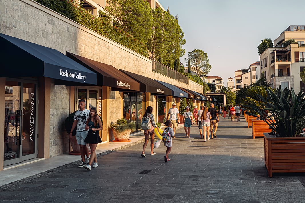
Adjacent to the marina lies a vibrant village. It features luxury residences, designer boutiques, and gourmet restaurants. This setting creates a seamless blend of nautical and urban lifestyles.
Attractions Beyond the Marina
While the marina is a focal point, Tivat offers a wealth of attractions:
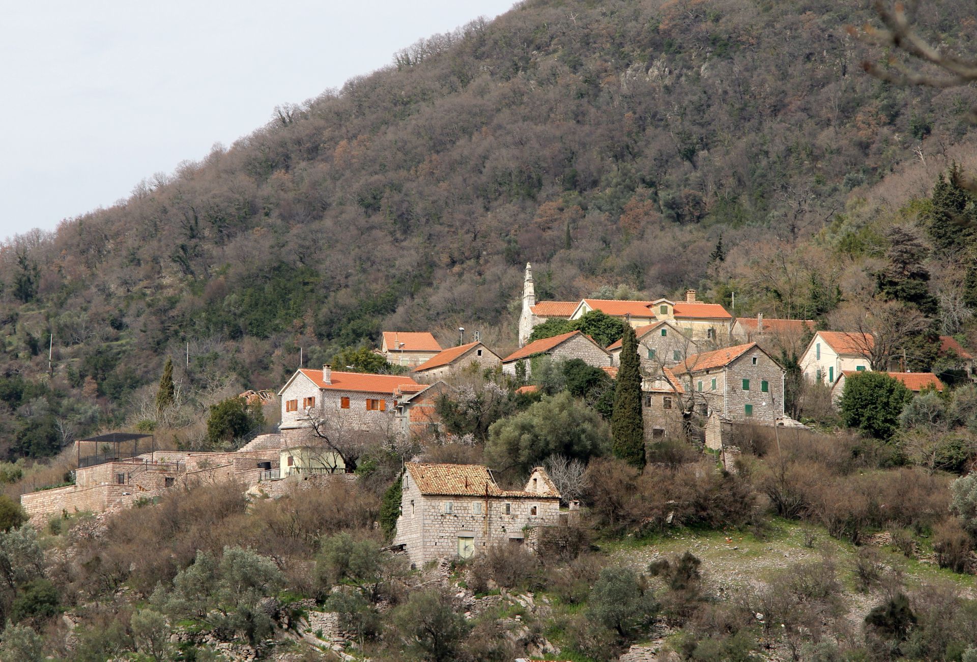
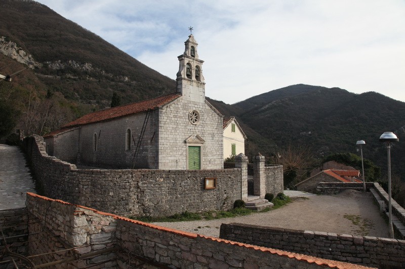
Gornja Lastva: This picturesque hillside village offers panoramic views of the Bay of Kotor. It provides a glimpse into traditional Montenegrin life.
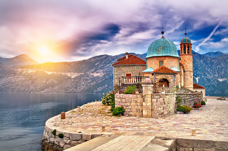
Island of Our Lady of Mercy: It is a serene islet housing a 15th-century monastery. The islet is accessible by boat and steeped in local lore.
Vrmac Ridge: Ideal for hiking enthusiasts, this trail provides breathtaking vistas of the surrounding bay and mountains.
Shopping: From Boutiques to Luxury Brands
Shopping in Tivat is a delightful experience, with options ranging from local artisan shops to high-end fashion boutiques:
Porto Montenegro Village: Home to over 70 international brands, including Dior and Rolex, offering a luxurious shopping experience.
Downtown Tivat: Explore charming streets lined with local boutiques selling handmade crafts, jewelry, and traditional Montenegrin products.
Seamless Connectivity: Airport to Marina
Tivat Airport (TIV) is conveniently located just 4 kilometers from Porto Montenegro, ensuring swift transfers for travelers:
Taxi Services: Readily available outside the terminal, offering direct rides to the marina.
Shuttle Transfers: Pre-booked shuttle services provide cost-effective transportation options.
Car Rentals: Available at the airport for those wishing to explore the region at their own pace.
Safety and Practical Tips
Tivat is considered a safe destination for tourists, with low crime rates and a welcoming local community. Standard precautions, such as safeguarding personal belongings and staying aware of your surroundings, are advisable.
Tivat seamlessly combines historical richness, modern luxury, and nautical excellence, making it an ideal stop for sailors exploring the Adriatic. Whether you’re docking at Porto Montenegro or exploring the town’s cultural gems, Tivat promises an unforgettable maritime adventure.
After the refreshing stop in Okuklje, it was time to do the last sail to Dubrovnik, a 20 M trip. A crew change was due there. The conditions were calm, there was no wind, at first. Little after leaving Okuklje we found a phantom net floating in a debris field. Luckily the sea was glassy and the visibility excellent and we managed to avoid it. We called Dubrovnik harbormaster on 16, and they sent the Coast Guard to recover it. Entering into the river in Dubrovnik is quite spectacular, with the huge suspension bridge overhead. On arrival in Marina Frapa the Day Skippers in training practiced docking alongside.
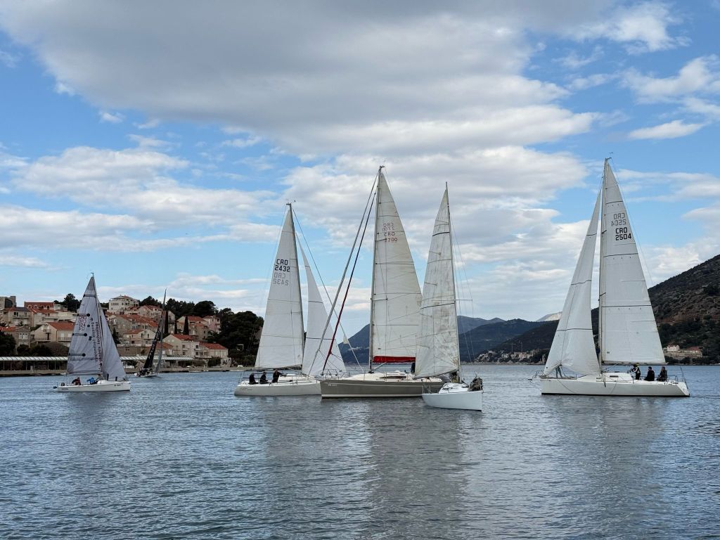
Sailboats in the fjord of Dubrovnik
We found it difficult to refuel in Dubrovnik. The fuel dock at the Yacht Club Orsan is no longer active. Following indications, we went into the fjord past the bridge. We found one huge filling station on the left bank. It was closed. The dock was frightening with lots of concrete and steel protruding. We decided not to proceed to ACI Marina. There should be another fuel dock there but the risk was to find that closed as well. We postponed refilling until Tivat.
Dubrovnik’s Franjo Tudjman bridge at night – Credit Ante Matic
Download here the waypoints for this trip – Warning, never use waypoints for navigation without previously validating them on your plotter.
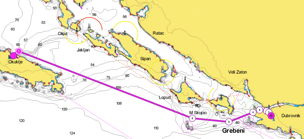
The passage between Okuklje and Dubrovnik is short, 20M, and not complicated. After exiting the bay, leave cape Stoba beacon to STBD. We will sail a 13M leg on a 110˚ course. This will lead us to have the Sveti Andrija islet to STBD [TR fl W 15S 24/12M AIS]. Changing course to 90˚ for approx. 3M will guide us through the canal’s middle. The island of Kolocep will be to port, and the islets of Grebeni and Vjesala will be to starboard.The islet of Daksa must be kept to port when entering the canal, to stud when exiting. The coast guard will fine you if you do otherwise. We then follow for approx. 2M a 065˚ route, until we have the Plic Vranac SLM to starboard. The Franjo Tudjiman bridge will be in front of us. We can go straight to the end of the fjord for ACI Marina Dubrovnik. Alternatively, turn to starboard if you are directed to Marina Frapa. Turn to starboard if you are headed to the customs and immigration dock.
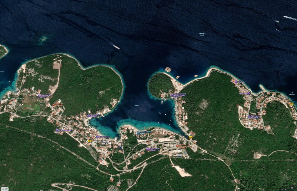
Uvala Luka Banja is a protected bay that can offer shelter from most winds. It is approximately 20 minutes by foot from the city of Korcula. You can choose to anchor, or use one of the buoys provided by the locals. in the SE part there is a pier where you can tie a dinghy.
Uvala Luka Banja – Korcula
Korčula: A Walled Island Town with Timeless Charm
Korčula is a small coastal town. It is located on the northeastern tip of Korčula Island, off the southern part of Croatia’s Dalmatian coast. The town is surrounded by clear Adriatic waters and pine-covered hills. It’s a scenic stop for sailors. It is also a practical stop for those navigating the islands between Hvar and Mljet.
The town is best known as the reputed birthplace of the explorer Marco Polo. While the historical evidence is debated, the story is part of Korčula’s identity. The island has a long and layered history. It is shaped by Greek, Roman, Venetian, and Croatian influences. These influences are visible in its architecture and layout.
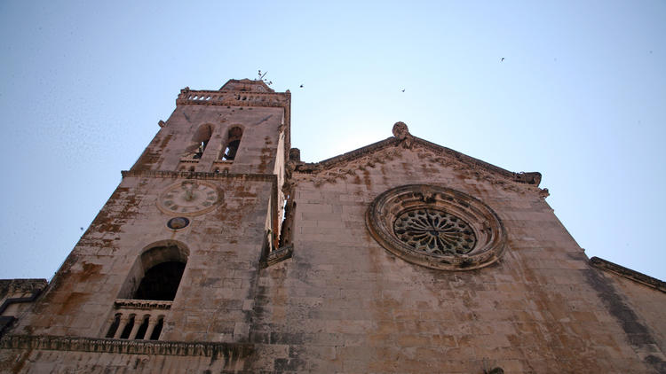
St. Mark Cathedral
Korčula’s old town is a well-preserved medieval core. It is laid out in a unique fishbone pattern. This design was intended to protect against wind and sun. The town is encircled by thick stone walls and defensive towers. It has a compact charm, featuring narrow lanes, red-roofed houses, and sweeping views of the sea.
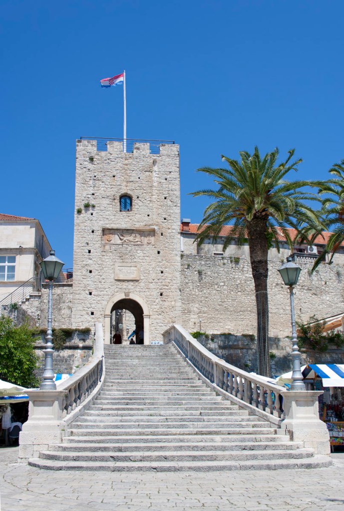
Staircase to Revelin tower
Among the main landmarks are:
St. Mark’s Cathedral, a 15th-century Gothic-Renaissance church at the heart of the old town
The Marco Polo House, a modest museum dedicated to the famed explorer
The Town Museum in the Gabrielis Palace
Large and Small Revelin Towers, offering great vantage points over the harbor
The Land Gate, the main entrance into the fortified town
Korčula’s waterfront promenade is a pleasant place to stroll, lined with cafes and moorings. For sailors, the town provides a safe and picturesque harbor, with easy access to nearby anchorages and quiet bays. With its mix of history, sailing convenience, and relaxed atmosphere, Korčula is a rewarding stop along the Dalmatian coast.
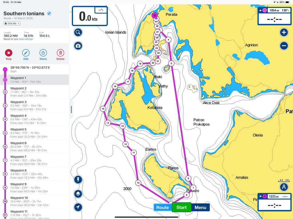
From the 17th of June to the 5th of July, we will focus on boat maintenance and improvement. We will also explore some islands, like Kastos. The 5th of July we depart with some friends from d-Marin Lefkas and set sail to the south. Our goal is to explore the southern islands of the Ionian archipelago. We will visit Lefkada, Kefalonia, Zakinthos, Meganissi, Ithaca, Skorpios, and many others. After one week, we will return to D-Marin Lefkas. A great sailing week with some of our dearest friends. The 10th we will be back in Lefkada for a change of crew and then again out for some great sailing days.
Jane & Darcy goes back to sailing after three weeks of shipyard work.
Boarding in Trogir
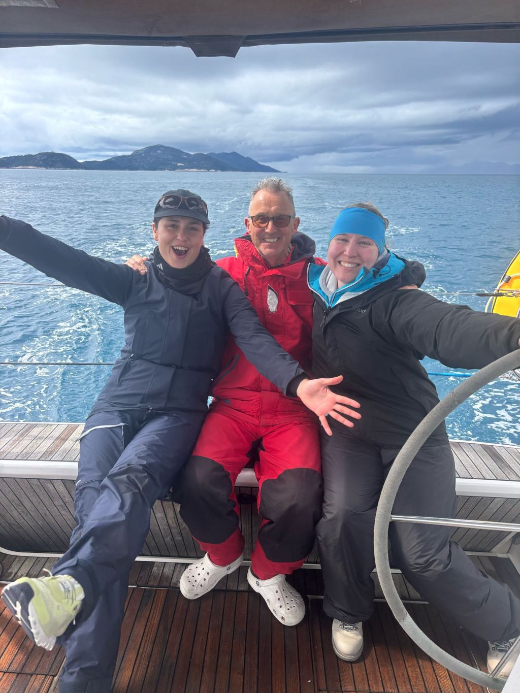
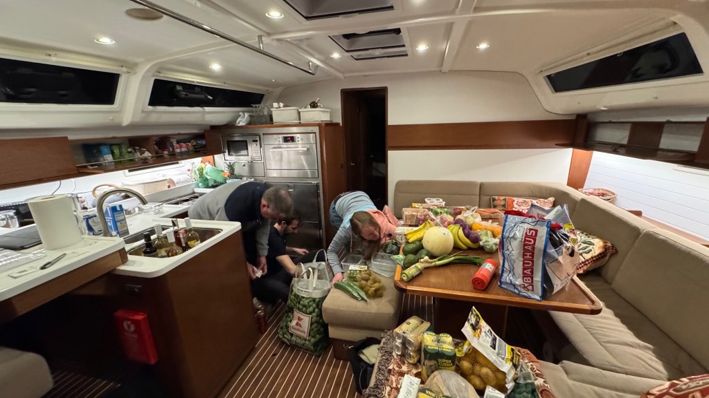
Our crew is now complete for the week. We will move the boat from Trogir to Dubrovnik. Mike, Robin, Alyssa, Selina and Julia are all onboard now, and the first chore is victualing. We rent a car and drive to Kaufland. The result is impressive, the car is packed to the rafters.
Storing the groceries is hard work
I am a little dubious about the composition of our grocery trove. It seems to have a liquid/solid unbalance. But that’s a happy problem.
Mike has joined us, the crew begins with familiarizing with the boat: safety briefing, equipments, checks, learning where things are…
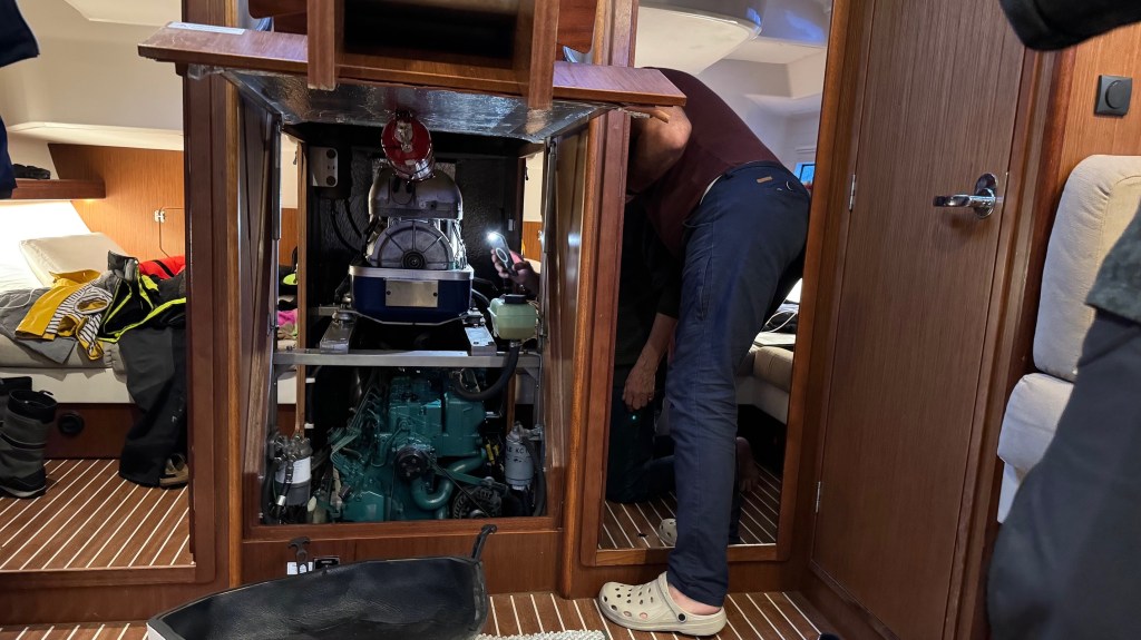
Engine Checks
We are now ready for a week of being together, learning a lot from each other and taking the boat from Trogir to Dubrovnik
Jane & Darcy goes back to sailing after three weeks of shipyard work.
Life at MCI
MCI stands more Marine Club International, however do not be mistaken, it is a shipyard, not a marina.
Jane & Darcy on the dry dock
Once you have set your expectations right, it is a great place to have your boat overhauled. It is incredibly busy. During the peak season, they move around 20 boats per day. There are no facilities because it is a shipyard. You have to take care when you move around. The place is not clean like a marina would be. But the work gets done, honestly, and well.
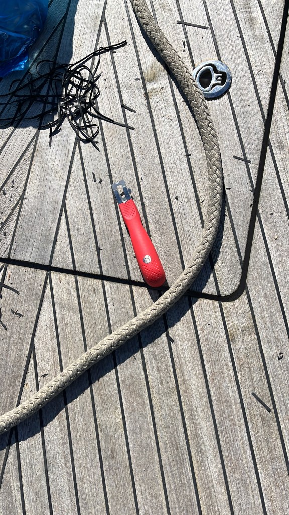
Refining the deck caulking
Back into the water
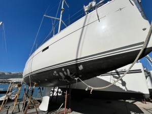
Jane & Darcy going back into the water at MCI Split
It is always exciting and terrifying to see your boat, your home, hanging from a crane. Everything can go bad in a moment. You don’t know whether you want to see, or it is better to be somewhere else. Everything was good this time. Finally, I managed to stop using precarious ladders to get on and off of our boat.
Jane & Darcy on the hard, ready to be moved.
From Split to Trogir
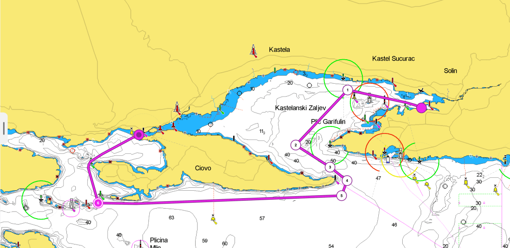
After completing work at the MCI shipyard, it was time to move the boat to Trogir Marina. The rest of the crew was going to come on board there. One of our friends has joined in Split to help with the transfer. Unfortunately, they have gotten sick. So, it is a single-handed transfer. After four glorious days of sunshine and cool breezes, today it is overcast, with wind gusts from SE. I untie the boat from the MCI dock, deserted on a Saturday, and let the wind blow us off. Unfortunately, the bridges connecting the island of Ciovo to the mainland are fixed. Therefore, we must go around the island, which is approximately 20 miles.
Download here the waypoints for this trip – Warning, never use waypoints for navigation without previously validating them on your plotter.
When leaving Split harbour, it can be quite busy. There are shipyards, commercial docks, huge tugs, a petroleum dock, and on the south side several obstacles. You first meet the Plic Silo IDM, then the Heidi Galija LH, followed by the Plic Galia IDM and NCM. Past the NCM it is possible to aim directly at the narrow delimited by Marjan (N) and Ciova (S) heads. Once we had cleared the Galija LH, we found a nice wind of 14 – 18 Kn. We set up the sails, starting with a broad reach. Then we adjusted to a beam reach. Getting closer to the narrows I grew uncomfortable. The wind was now 24 – 28 Kn and increasing. It was backing rapidly. This forced us to tack. Finally, we started the engine. As we approached Ciova head, we encountered a strong current. It was up to 2-3 Knots. The SE wind was pushing the waves inside the gulf of Kastela. I decided to stay well away from the head, as I saw races and overfalls. The wind had passed 30 Knots by the time we left the cape to STBD. It was great to turn the bow to NW after some 30 minutes of breaking waves straight against our bow.
Proceeding along the S coast of Ciova, the sea conditions improved gradually from moderate to slight. When we reached the Zaporinovac SLM, we turned the boat NNW entering the gulf of Trogir. The situation improved greatly. It improved especially after the Okruk head SLM when the sea was calm.
Docking in Marina Trogir, we discovered it is a canal dock. The strong current we had encountered at the exit of the gulf of Kastela was pushing the water through the canal. This made it riverlike.
Hard lessons for charter captains
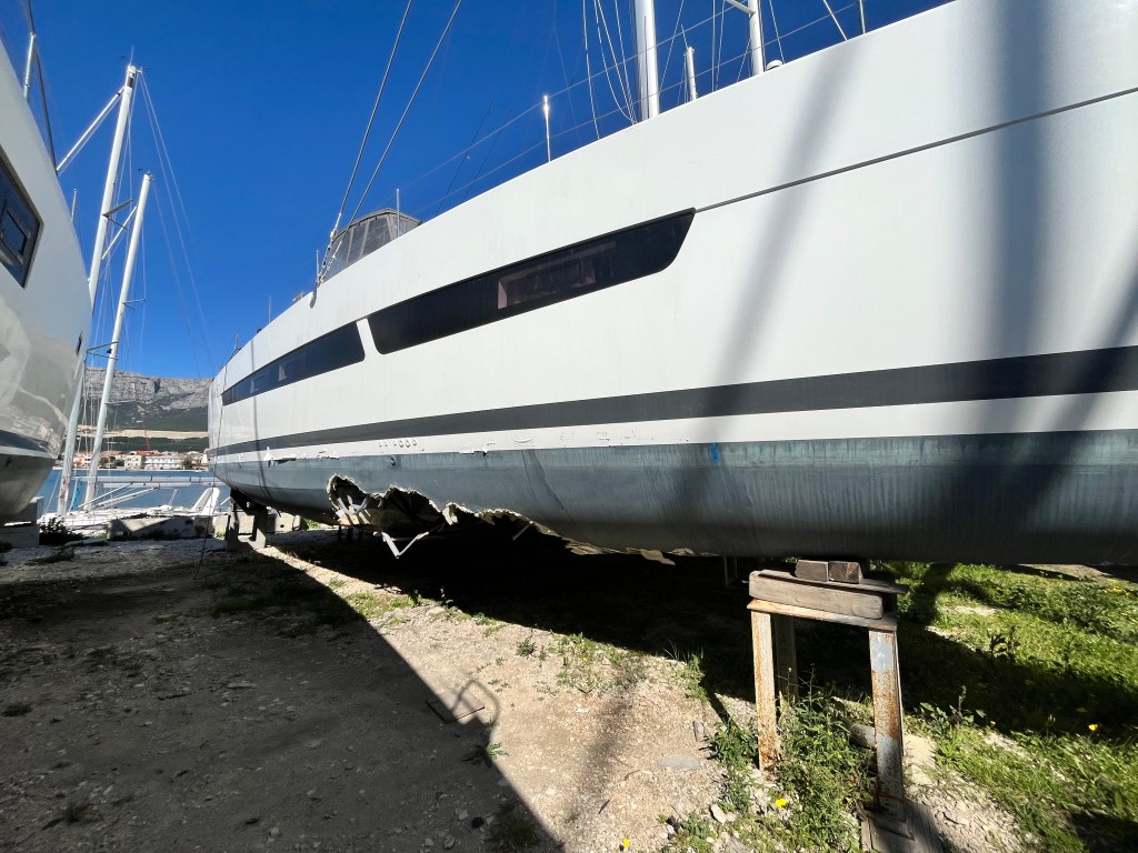
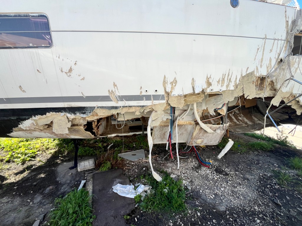
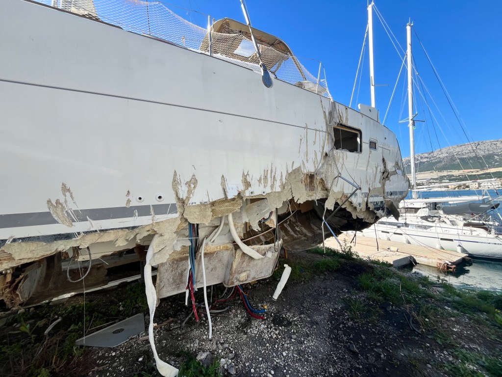
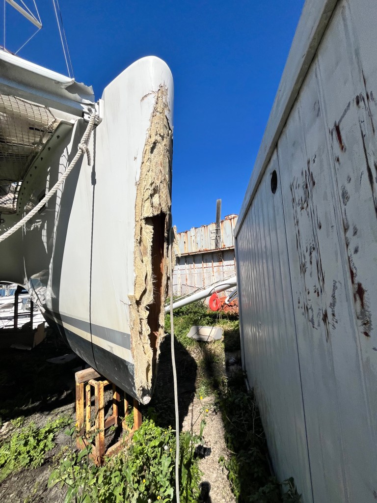
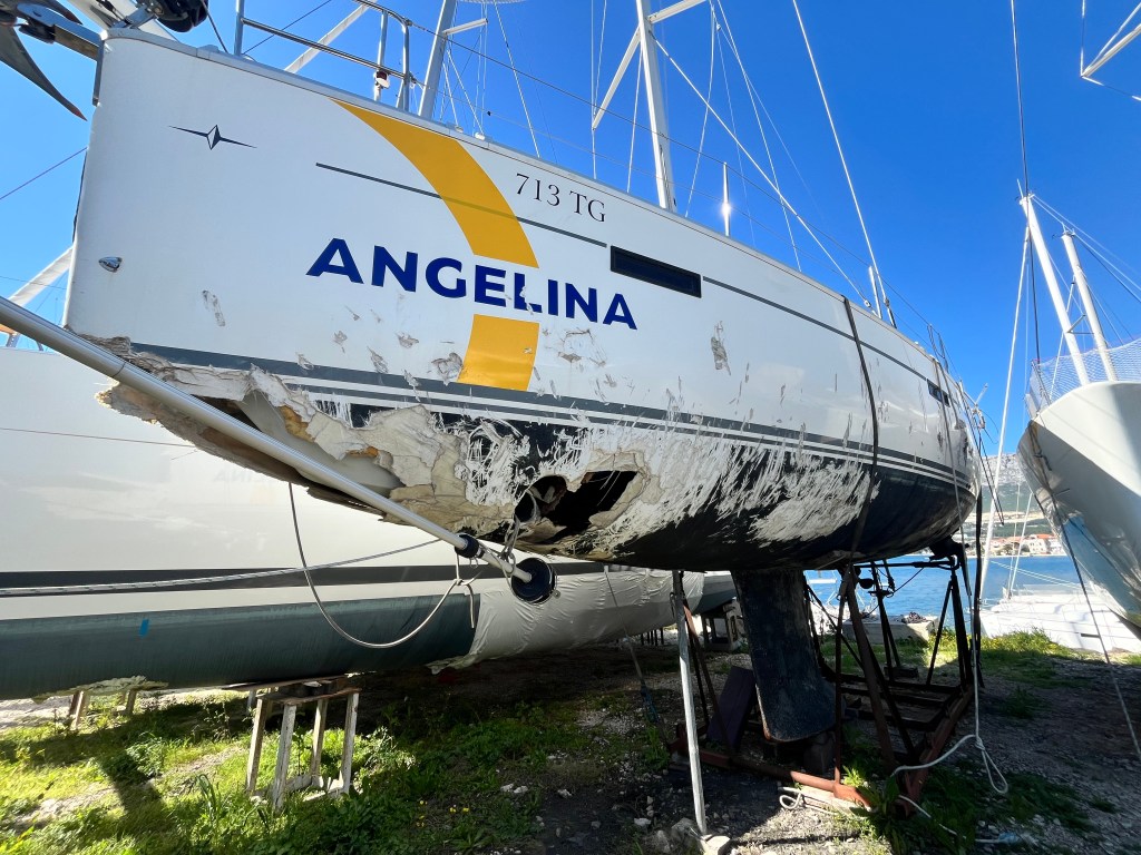
While at the shipyard I saw several heavily damaged boats, especially catamarans.
I asked around and found that last year there was an intense storm. It threw several boats on lee shores and sank a few others. This was a tough lesson. You should regularly refresh your knowledge about the weather conditions. You also need to carefully assess the way you are anchoring and taking shelter. Interesting fact: these boats are bought and repaired by people who will sell them on the market. They will look fine, but how much can you trust a boat that has been damaged to such extent?
Haiku of the day
Back on the Water
Hull healed, sails aloft Salt and sun kiss new journeys Freedom hums again
A quaint small harbor reminiscent of Croatia many years ago
GPS Coordinates
43 27.088′ N
016 08.602′ E
Approach and Docking
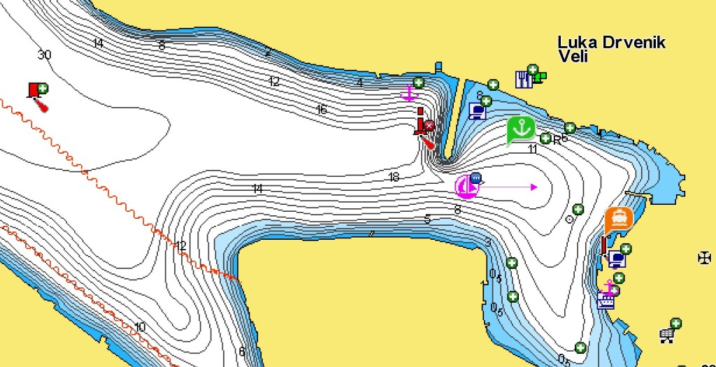
The pier is municipal and at the time of our passage (end of February) no one collected fees. Electrical connections (2025) were out of order and there was no water available.
Berthing is either alongside, if there is enough space, or anchored with stern lines
The bottom does not hold much, and with NE there is katabatic wind pushing towards the pier. Use caution, raise the platform and protect with fenders. Depth is more than sufficient, except towards the landside part.
The E end of the harbor is where the ferry docks. The SE section is shallower. There are many small local boats at anchor.
Located inside a deep narrow bay and protected by a breakwater, Dvrenik Veli provides a safe harbor in most conditions. It is also a quaint little village, less touched by mass tourism. There are a few small shops and some konoba. Nice old stone buildings flank the harbour.
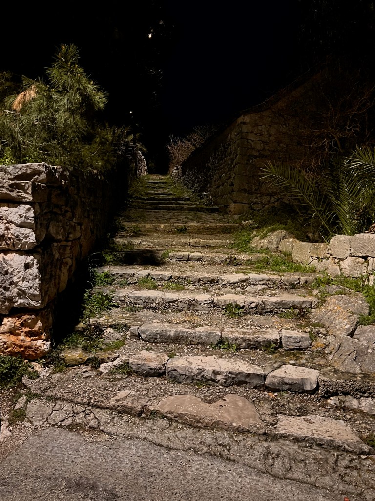
The village is not deserted but almost everything is closed, the season begins in April and ends mid-October. The access to the pier from the village may prove a little hard if you have limited mobility. It can also be challenging if you need to carry weights. If you plan to refill at one of the shops on the other side of the jetty, use your dinghy. It is simpler this way. This can make transporting loads easier.