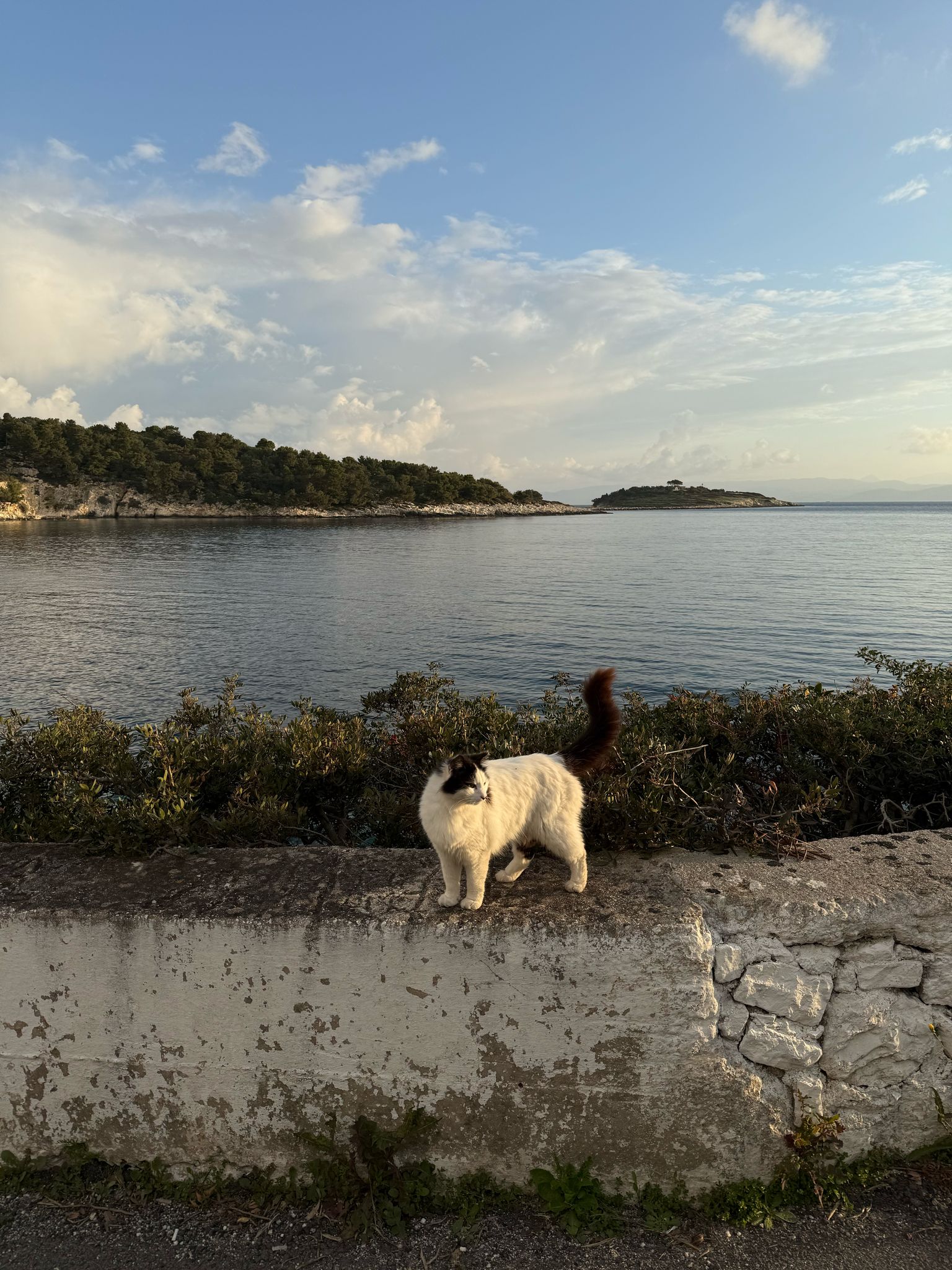
Cats. They are the uncontested owners of docks, piers, harbours and restaurant floors.
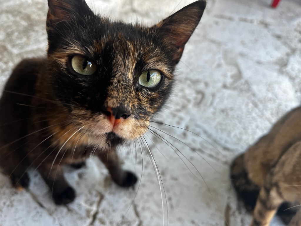
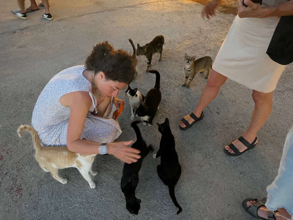
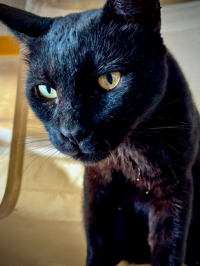
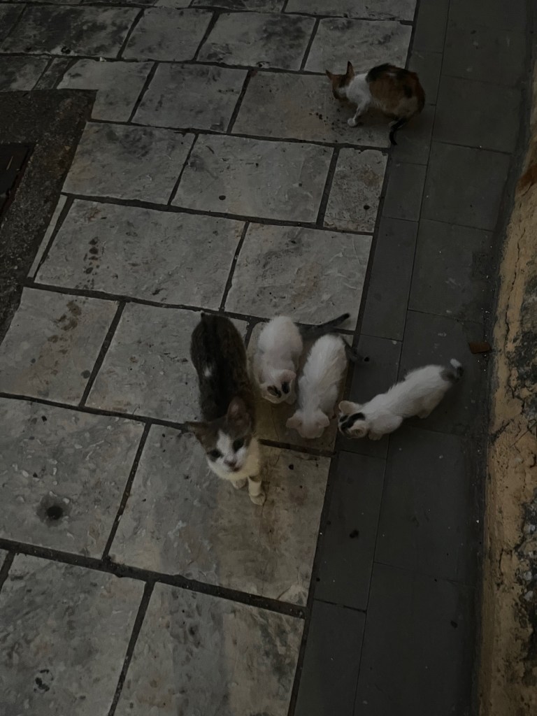
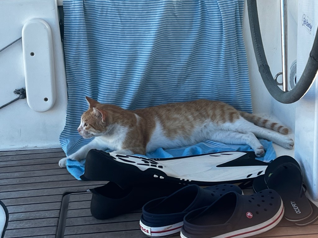
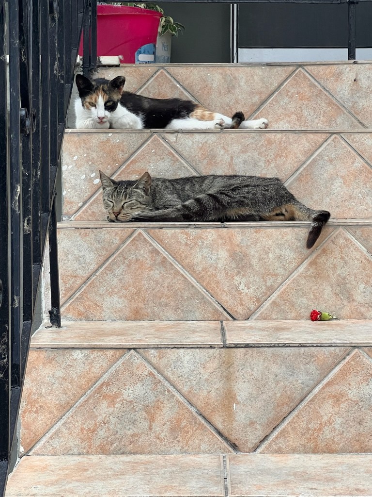

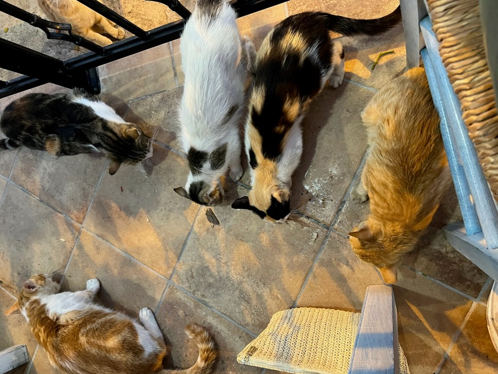
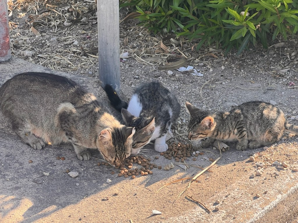
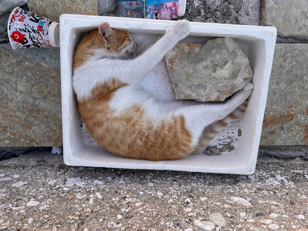
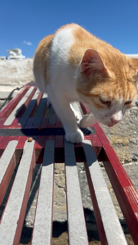
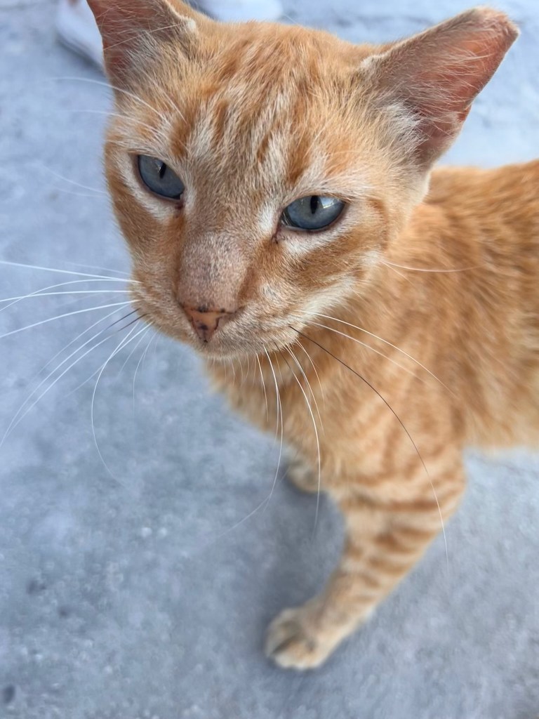
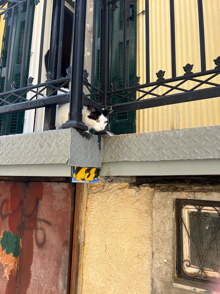
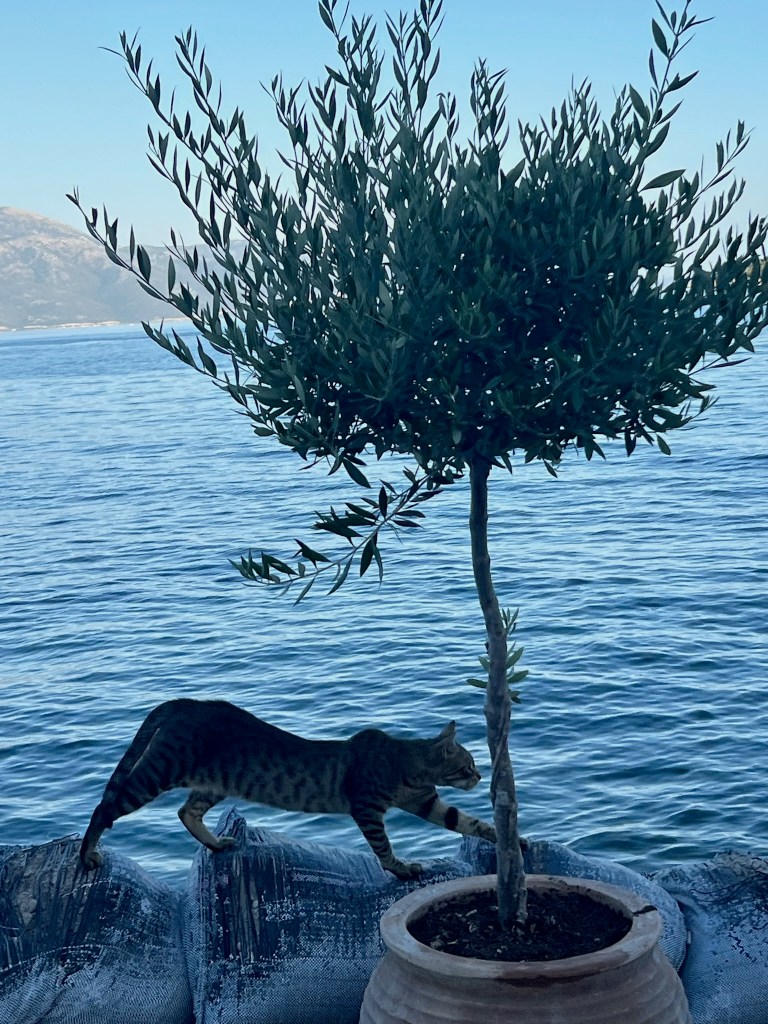
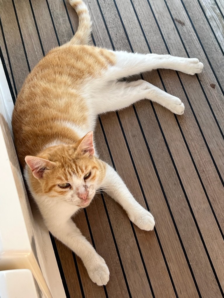

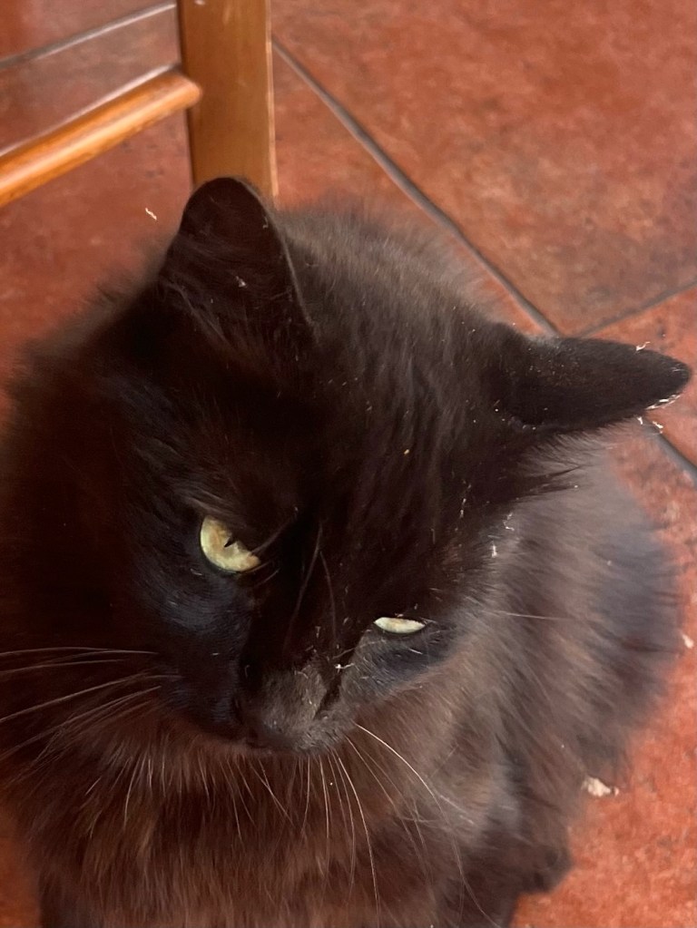
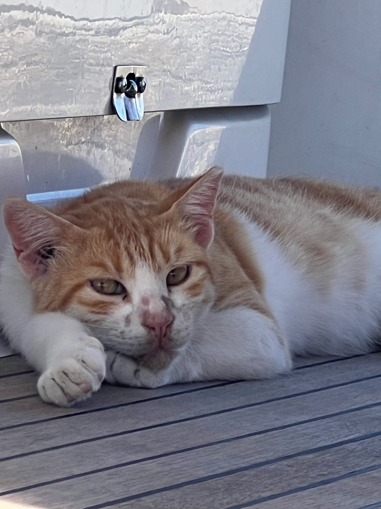
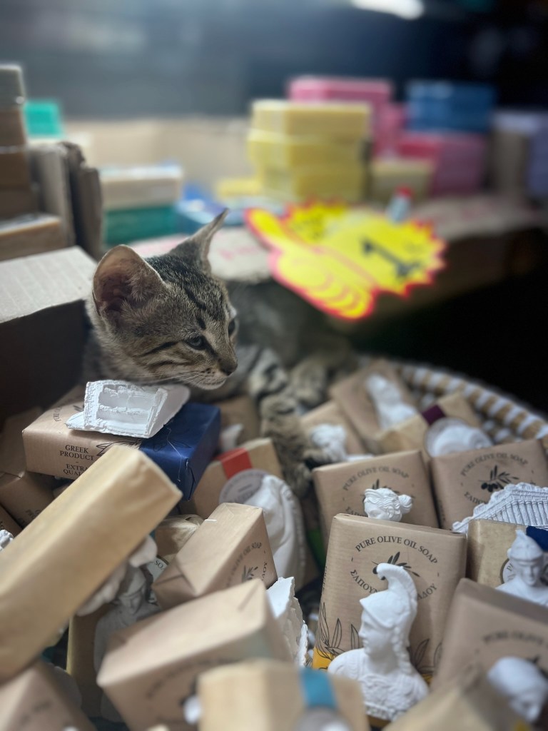
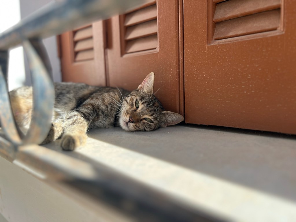
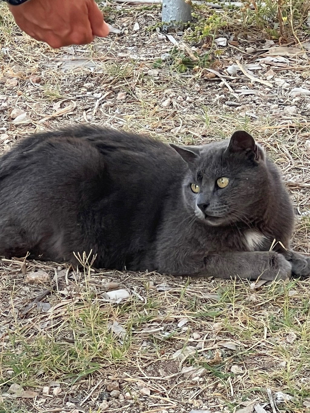
Cats. They are the uncontested owners of docks, piers, harbours and restaurant floors.

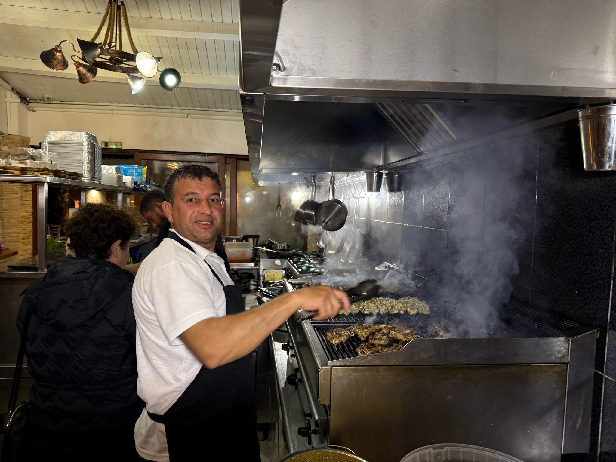
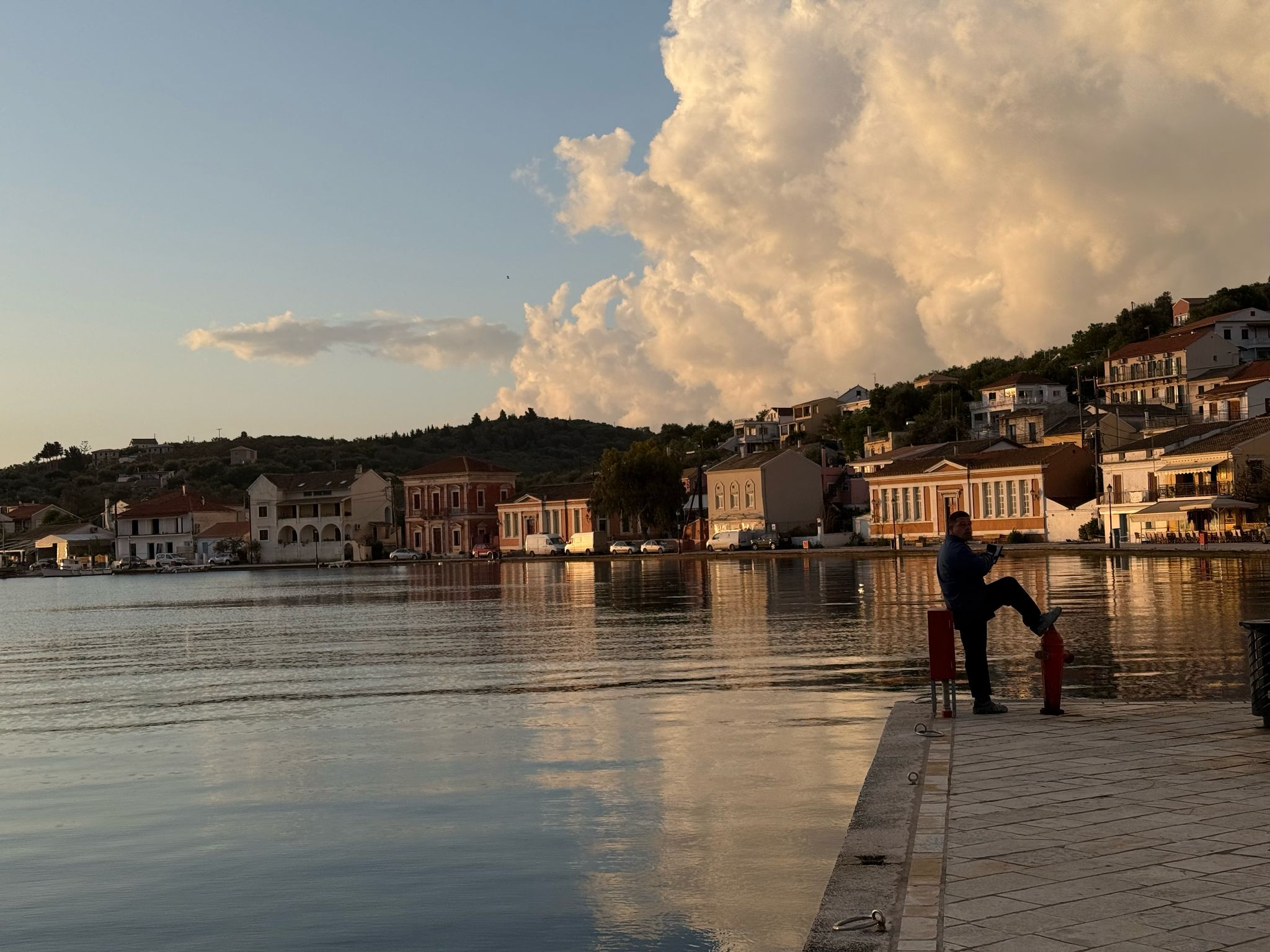
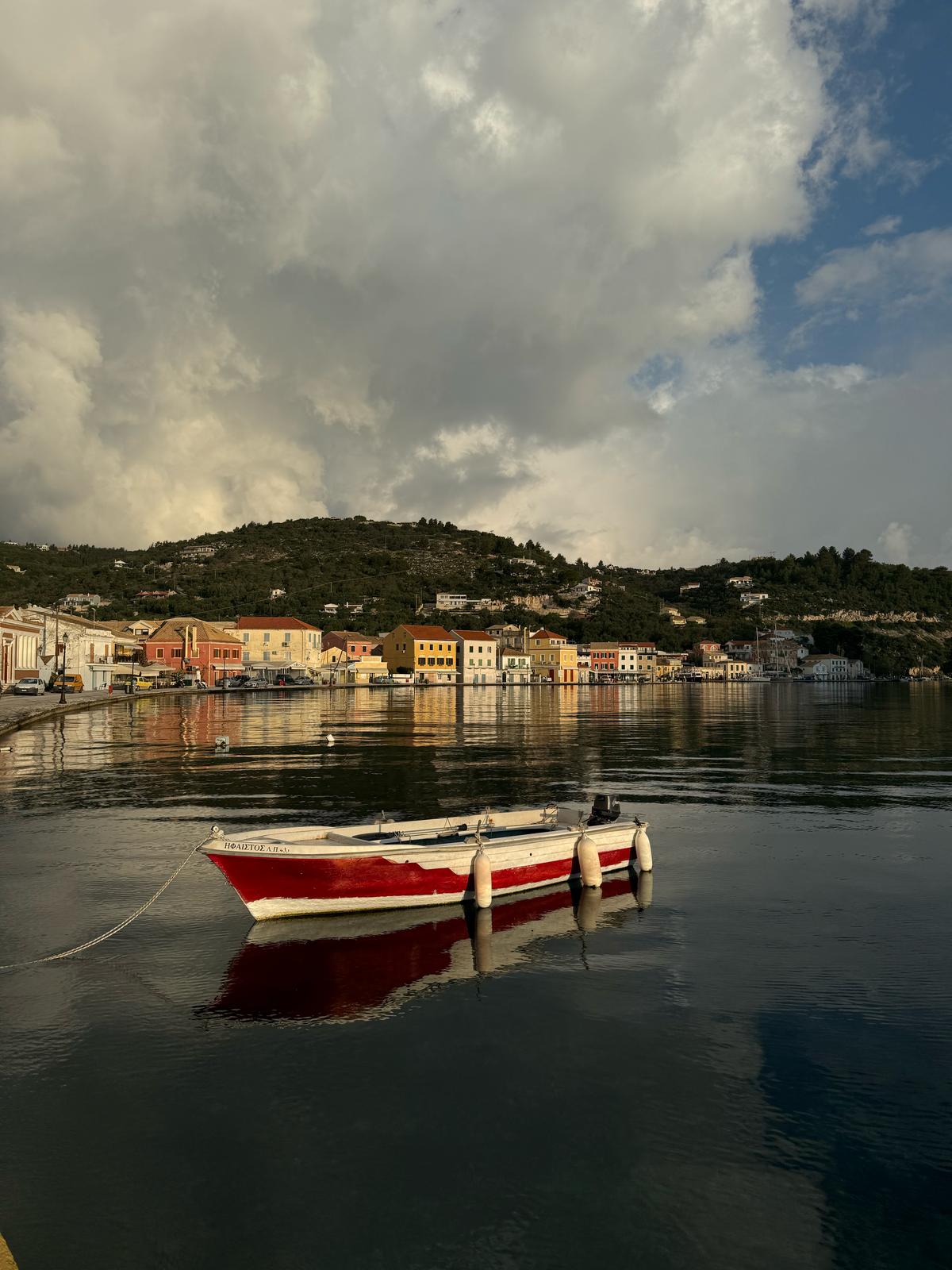
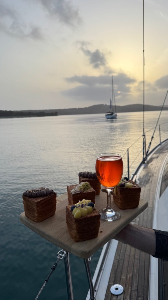
Gaios is the picturesque capital of Paxos, nestled on the island’s east coast. The harbor is naturally sheltered by the islet of Agios Nikolaos, creating a tranquil fjord-like setting. The town boasts charming Venetian-style architecture, narrow streets, and a vibrant waterfront lined with cafes and tavernas. It’s an ideal spot for provisioning, dining, and exploring the island’s rich culture.
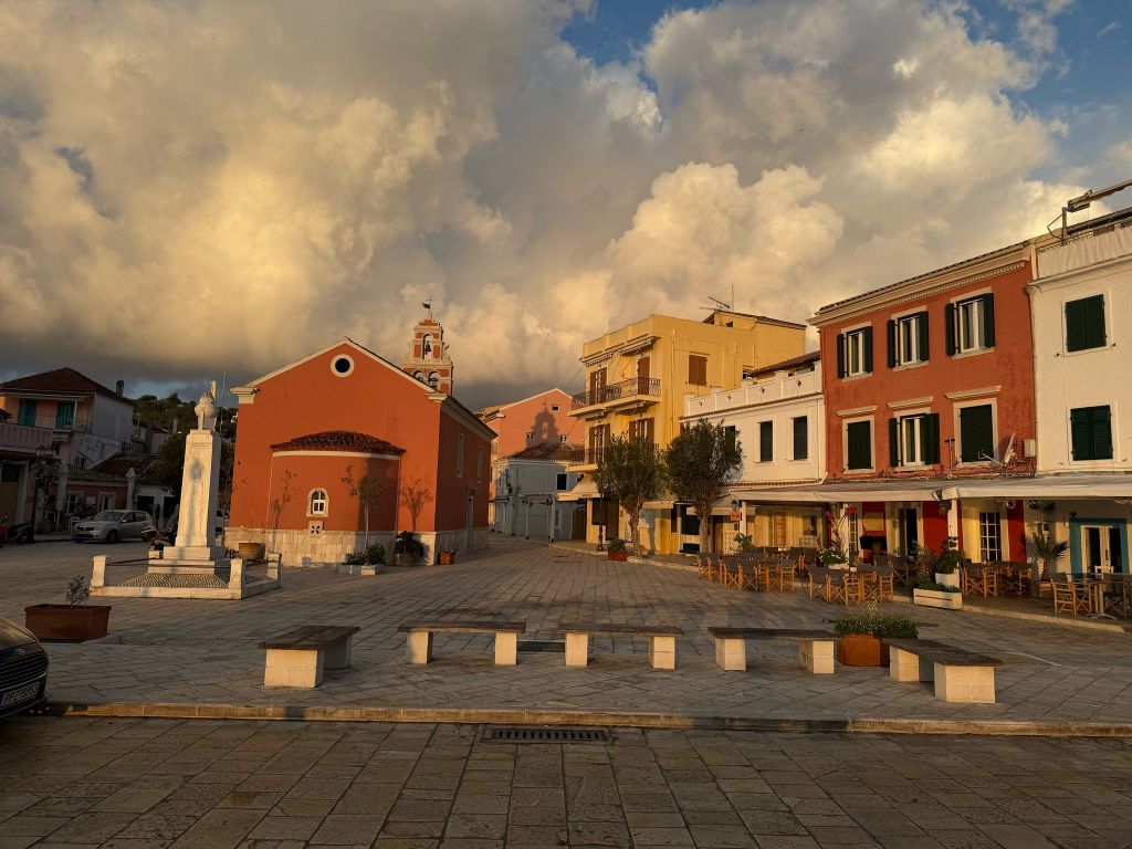
Gaios offers a blend of natural beauty, cultural charm, and essential amenities. It is a must-visit destination for sailors exploring the Ionian Sea. Enjoy your stay!
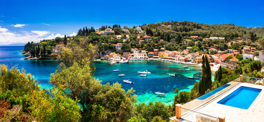
Paxos (or Paxi) is a serene gem in the Ionian Sea, located about 15 km south of Corfu. Despite its modest size—it is approximately 10 km long and 3 km wide. It boasts lush olive groves, dramatic limestone cliffs, and crystal-clear waters. The island’s charm lies in its unspoiled landscapes. Its tranquil villages provide a slower pace of life. This offers a perfect escape from the hustle and bustle.(en.wikipedia.org)
Paxos offers a variety of dining options, from traditional tavernas to upscale restaurants:
For nightlife, while Paxos is generally tranquil, you can enjoy live music and cocktails at various bars in Lakka. You can also find bars in Loggos that provide a relaxed evening ambiance.
While Paxos is small, renting a car or scooter can help you explore its hidden gems. Your boat is fundamental for accessing secluded beaches and neighboring Antipaxos.

Paxos is a haven for those seeking natural beauty, rich history, and authentic Greek island life. Whether you’re hiking through olive groves, relaxing on a secluded beach, or savoring local cuisine, Paxos promises a memorable experience.
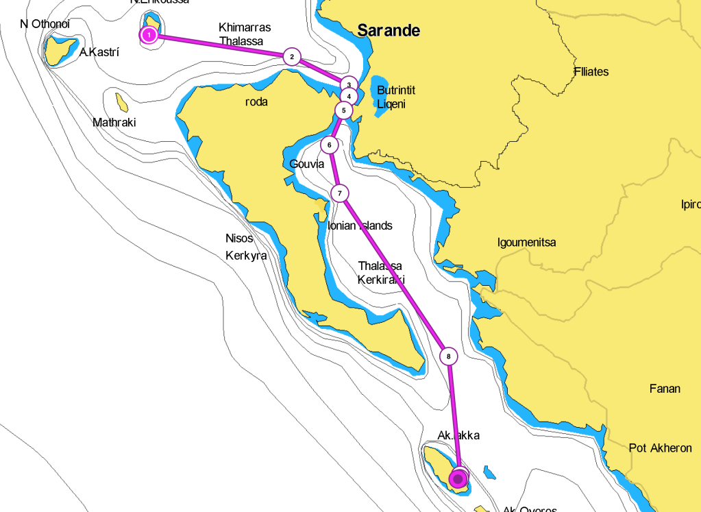
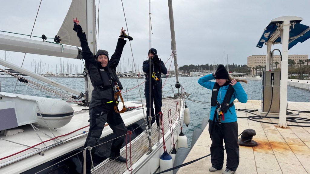
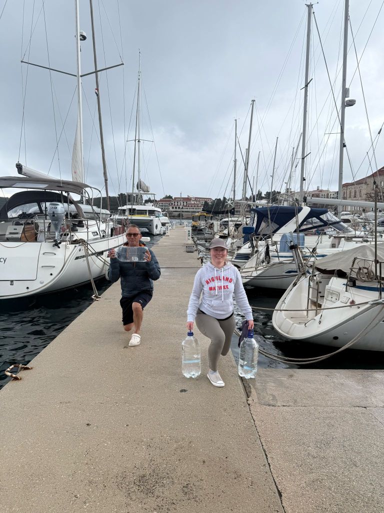
The night in Erikoussa was perfect, with us docked at the breakwater, alongside. It was a great opportunity to throw a party for my birthday. We also met with Markus, who was solo sailing in the opposite direction, with his dog, Heinrich. The next day we had two possible options. We could take a shorter leg passing west of Corfu. Alternatively, we could stay inside on the east side, but this would mean a slightly longer leg. The difference wasn’t much. We were starting to look at the fuel level with some concern. So, we decided to take the inner side route. We planned to stop in marina Gouvia on the island of Corfu for a refill. The additional benefit: giving some respite to those passengers who had suffered sea sickness during the two long passages.


Plans seldom survive contact with reality. When we arrived in marina Gouvia, we docked at the fuel dock. We only found out that there was no one. Three different signs invited to call three different phone numbers. None answered. After several attempts, finally someone answered us, and told us that they could have come at 5 pm. This would have completely blasted our schedule, so we decided to try in Corfu, harbor. Having learned the lesson, we called several numbers, to no avail. No one would come and refill us. Having found someone who would have refilled us in Paxos, we decided to skip the stop in Corfu and continue. At least we had nice views of the city, with the impressive bastions of the fortress dominating the houses below. The sea was calm, with initially not much wind. We had the opportunity to make a break and go for a short swim in Lefkimmi Bay. The coast is not too exciting. It is a marshy lowland. The Lefkimmi headland houses some salt flats and continues underwater with a shallow area. This area needs to be carefully avoided. Once we left the head of Asprokavos to our starboard, we were finally exposed to the W wind. We encountered swell. We could make sail for the last leg.
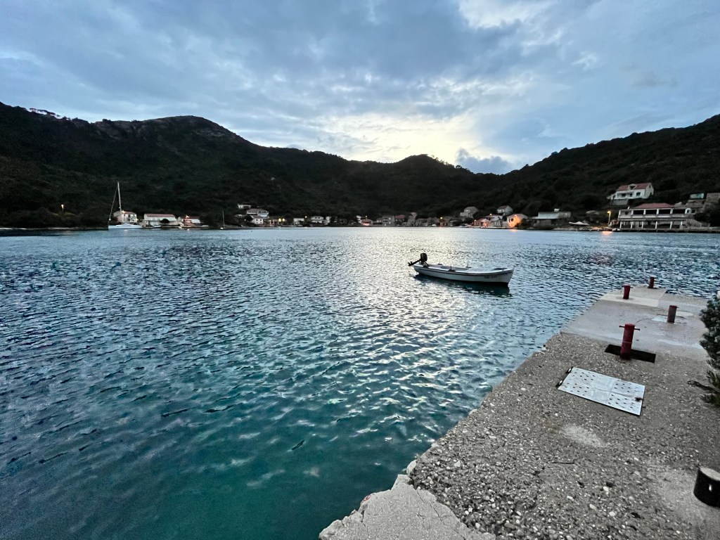
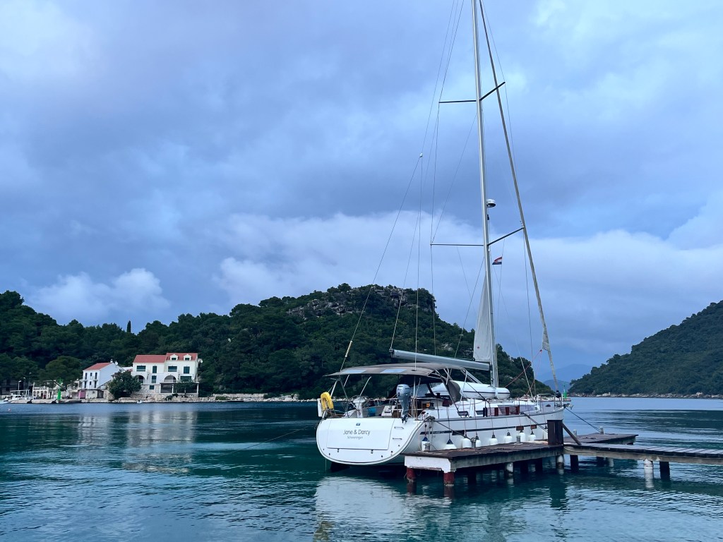
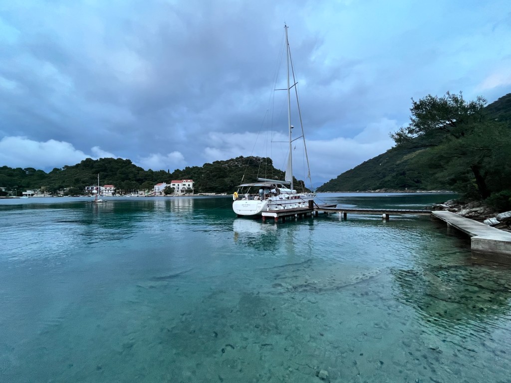
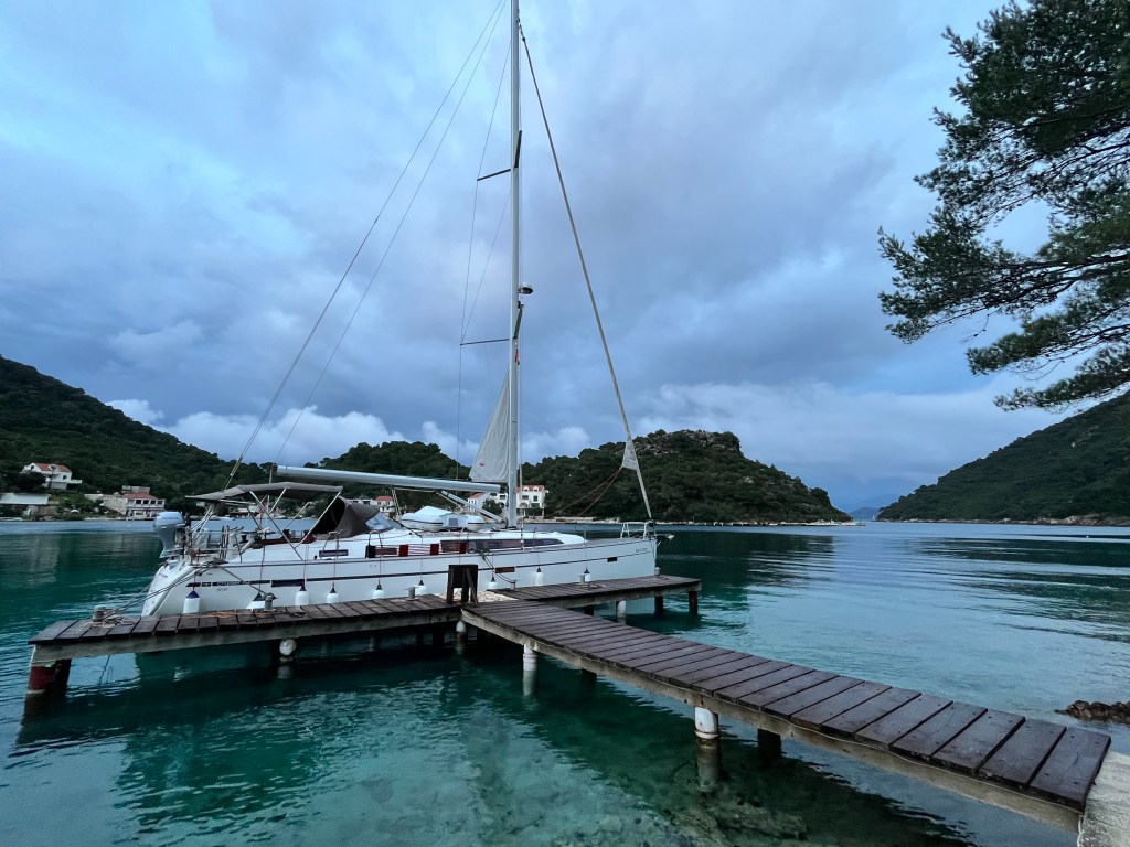
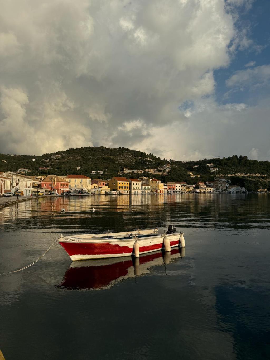
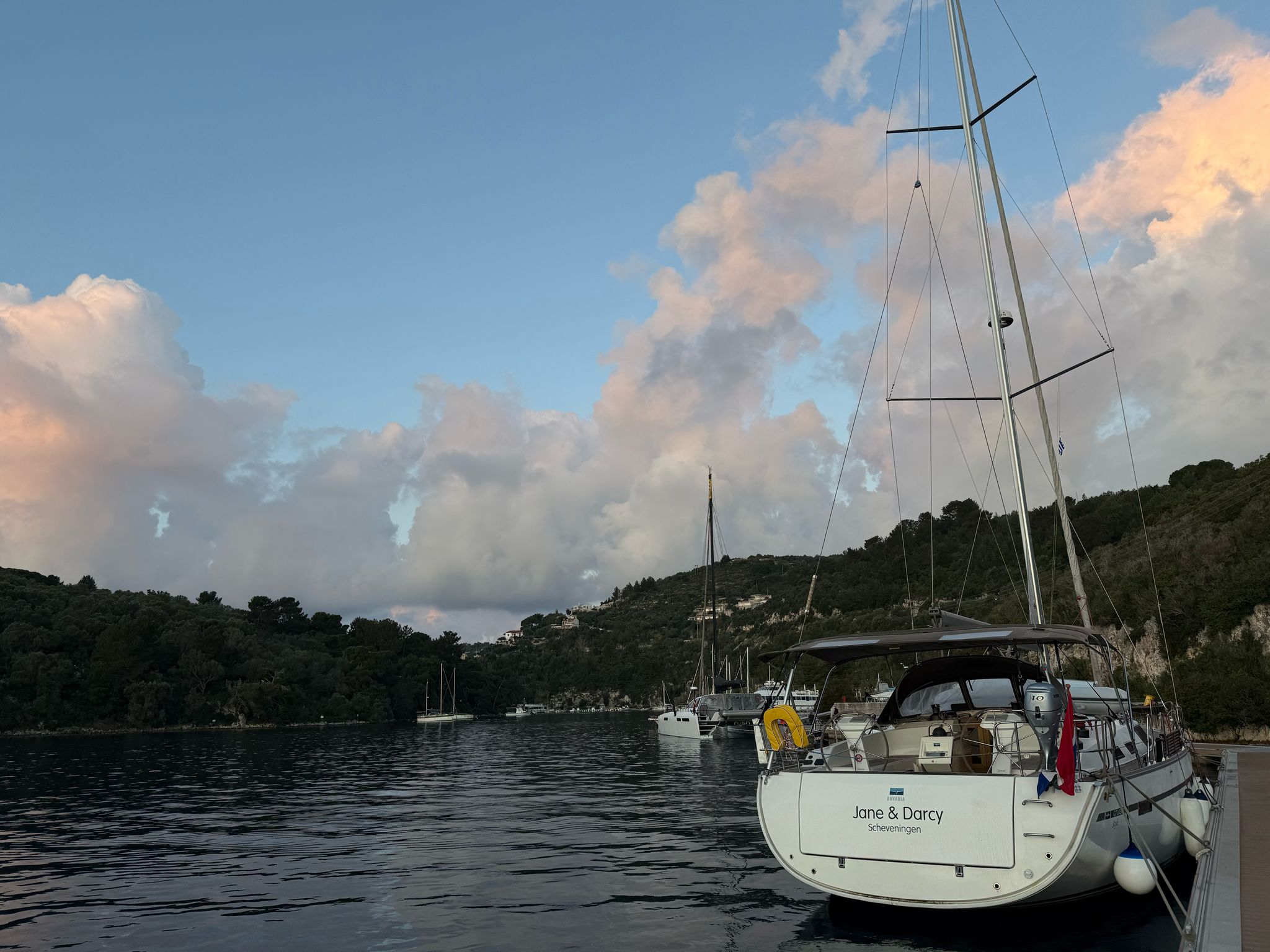
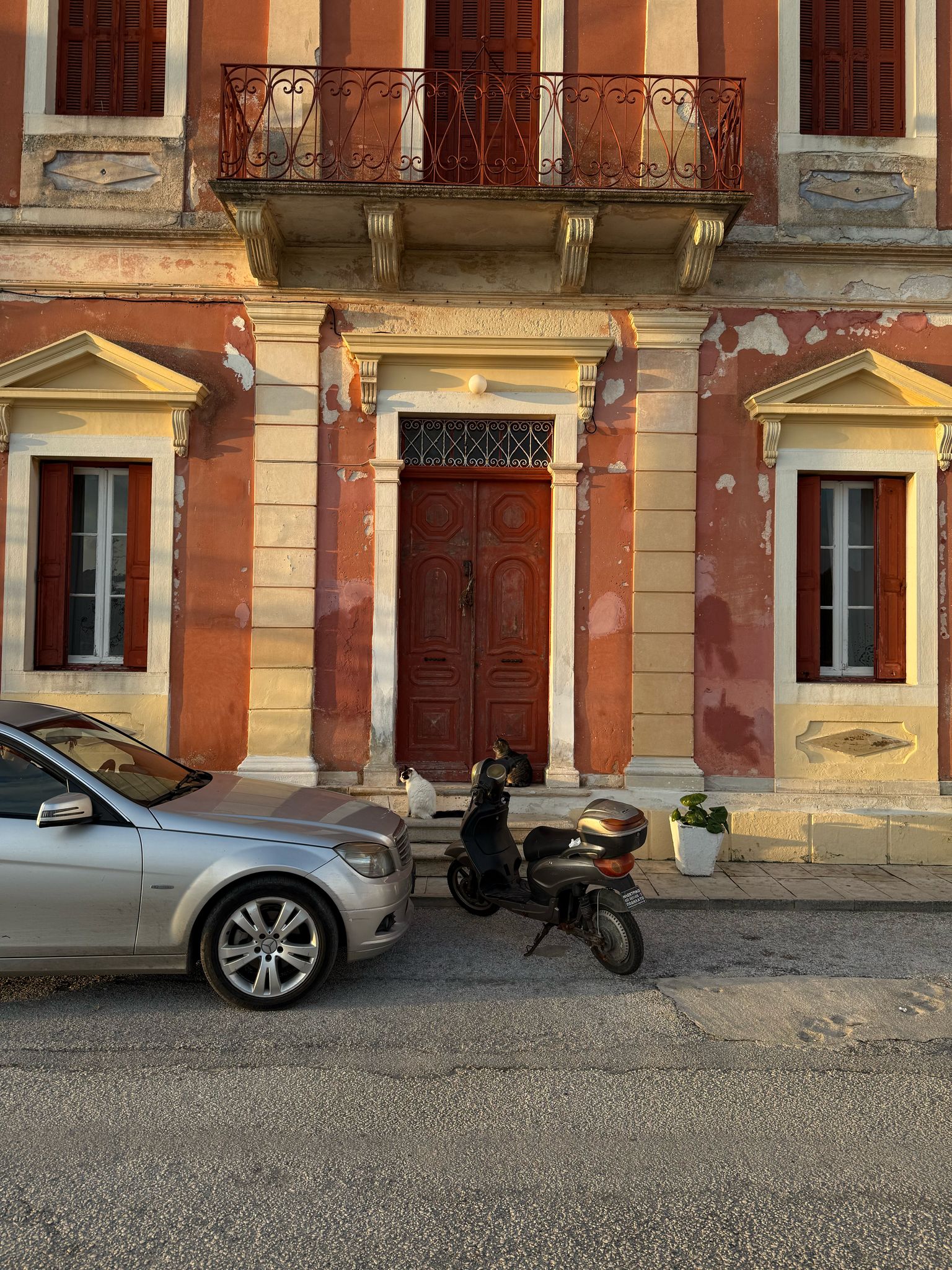
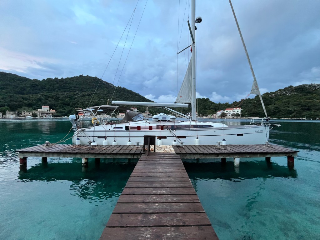
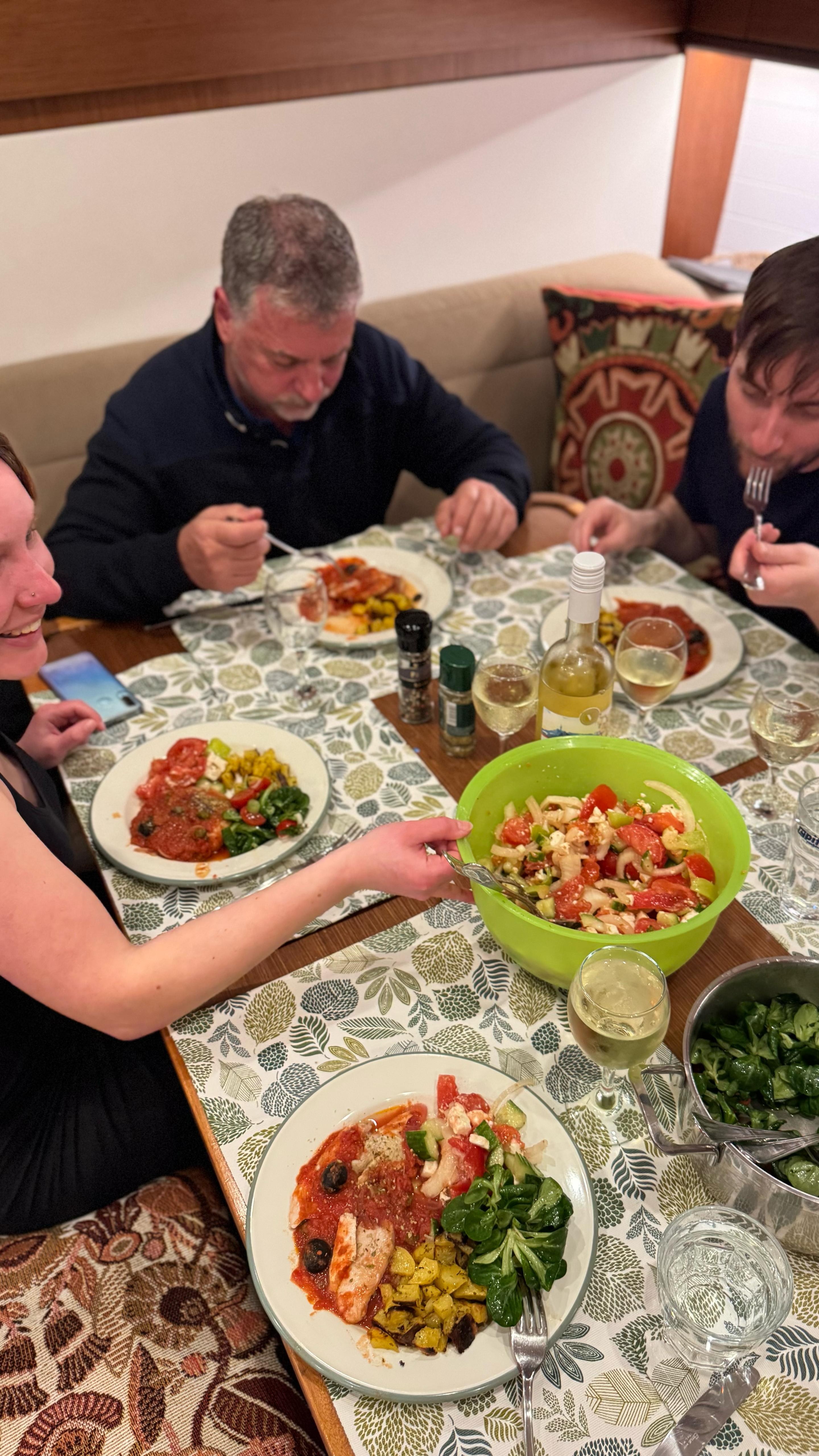
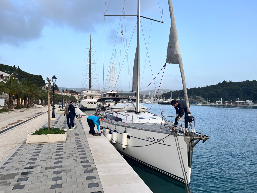
Gaios is as cute as a button, with its harbor sheltered by a crescent shaped islet. We found an easy and good berth alongside at the new pontoon. We had an excellent dinner in one of the few restaurants open out of season. We had the impression that in high season the place must be a real carnage.

Download here the waypoints for this trip – Warning, never use waypoints for navigation without previously validating them on your plotter.
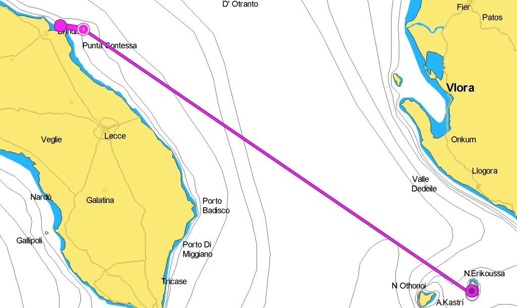
The passage is approximately 60 M if taken from the inner side. After exiting the habor and clearing to port the shallow area SW of the island, head 17 M on a 96˚ course to reach the narrow separating Corfu from Albania, then heat 3 NM on a 153˚ course to leave the islet of Peristeri and the shoals of Psyllos to starboard. Peristeri is marked by a light [FL R 5S 8M RA REF] and there is a fishing farm marked by a yellow special marker on its N side. Psyllos is unmarked and dangerous. The channel is trafficked by large ferries and cargo ships, and you need to follow the right direction (starboard if going N to S). Ater passing Psyllos, head for 200˚ for another 6 Miles, then head for 163˚ for 4 more miles until you have the Achropolis at the STB beam, then change course for 146˚ in order to clear Cape Asprokavos and reach the open sea, this will be after 17.5 M. The last turn for 174˚ will take you directly to the approach to the N entrance of Gaios, after approx. 11 M.
Birthday winds whisper
Fuel elusive, course unfolds
Gaios lights the way
An off the beaten path anchorage, with restaurants, moorings and protection
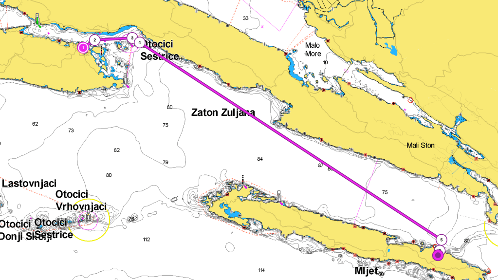
Luka Okuklje is an amazing small bay, with a narrow entrance, and offers protection in all wind conditions. It is possible to anchor, but also to find a dock at one of the Konobas. The water is crystal clear, and the vegetation is lush.
A few space houses and some konobas are surrounding the bay. There are some private docks and buoys that you can use for a small fee. The entrance to the bay is very deep. We observed large whirlpools formed by the currents there.
After the deep entrance, the bay becomes shallow. Several submerged rocks and shallows are on the W side. The dock on the E side has large tires as fenders. Outside the summer season there is nothing open there, but this is part of the magic of this place. The private dock on the W side also offers electricity and water for a fee.
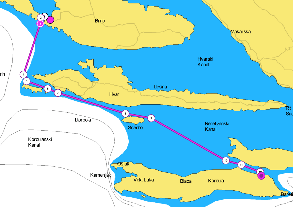
Leaving Korcula for the island of Mljet, less frequented by charter boats during the season
The day after the Bura burst we decided to leave Korčula for the island of Mljet. We considered two options. One was Luka Polace, at the NW side of the island. The other was Uvala Okuklje at the NE end. We thought that the weather was favorable, but still unstable, and decided to get nearer to our final destination, Dubrovnik.
Mljet is less frequented by the charter boats during the season because it is far from most charter bases. The NW end is a national park and a marine protected area. There are two deep bays, Pomena and Polace where you can find good shelter. Remember to buy the park ticket online before entering the reserve. The N coast also offers good anchorages at Luka Sobra, Prozurska Luka and Okuklje.
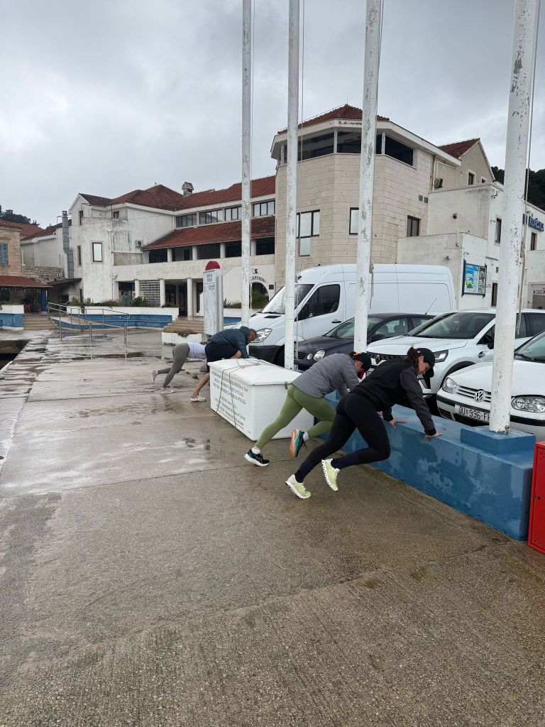
The stop in Okuklje was refreshing for the crew after a few days of not so easy sea conditions. We had time to relax in a quaint bay, exercise, have good food. We found an easy berth for the night at a private dock.

Download here the waypoints for this trip – Warning, never use waypoints for navigation without previously validating them on your plotter.
Leaving ACI Marina in Korčula bound E means to find right away several obstacles, currents and variable wind conditions. If you leave the marina on a NE course, you will find a shoal to STBD approximately 5 cables away. It has a charted depth of 4m. After approximately 1 M, change course to 90˚. This maneuver will let us pass to STBD first the Plic Lucnjak IDM. Next comes the islet of Lucnjak. Finally, the islets of Vela and Mala Stupa will be passed. After approximately 2.5 miles on this course, you leave the last islets of Vela (LH W TR FL(4) W 15S) and Mala Sestrica to STB. Then, set the course to 125˚ for a long leg of 25 M. This will aim at the Okuklje approach. The channel is four to five miles wide, and rather protected in most conditions. The bay of Okuklje isn’t very visible. There is a SPM on cape Stoba that can be used as a reference. The entrance of the bay is deep. However, it soon gets quite shallow. It is recommendable to prepare a pilotage plan before enteringAnchoring in Luka Okuklje
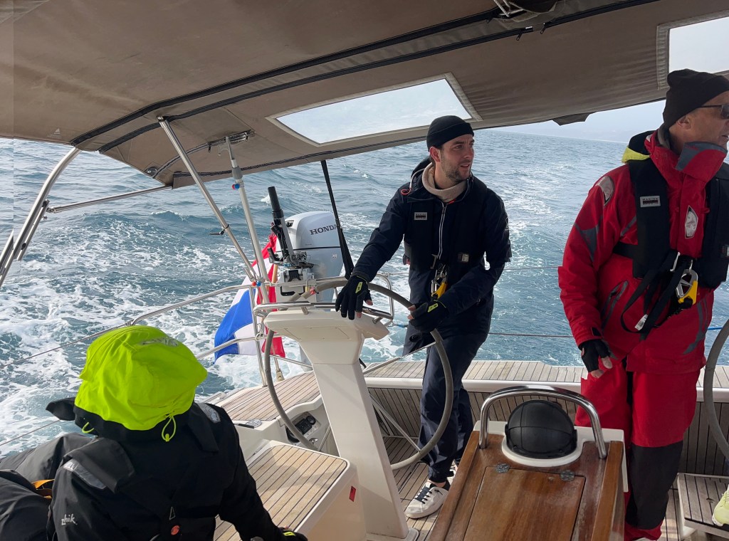
Charts spread on the deck
New hands learn the skipper’s craft
Mljet’s green shores await

After a rough crossing to Split and a quiet one to Milna, we needed to make up for the lost miles.
A great learning about decision making processes when planning a passage. The weather forecast was not exciting, with rain squalls, 1.5-2.0 m waves and SE wind 20-25 Kn. At first, we planned to go to Uvala Necujam, a secluded bay in Šolta island.
However, the idea to have a nice dinner in Split prevailed. When we modified the plan, we assumed that we could have docked at the city wall in Split.
That proved wrong, because the wall was exposed to the swell entering the harbor. It is something that we should have checked.
ACI marina Split refused to give us a berth, and the crew was too tired to set up sail again. After a very unpleasant discussion with the ACI marinero, we ended up moored on the outside dock of the marina.
There was not much shelter, and it was a high price to pay. Lessons learned: always think that the first objective is to keep crew and boat safe, all the rest comes after.
ACI Marina Split has several negative reviews due to their attitude, we had it confirmed.
After a rough crossing to Split and a quiet one to Milna, we needed to make up for the lost miles.
The short sailing and the stop in Milna were needed. This allowed the crew to get to know the boat better. It also helped them recover from the rough night in Split. We had considered to call in at Marina Palmisana, instead, but it was closed for the season.
We had a firm arrival date in Dubrovnik. The next day we needed to make up for the miles lost the day before. This is why we planned to go all the way to Korcula’s eastern end the next day. Someone on a less tight schedule may want to spend some time in Palmizana. They can enjoy the beautiful bays of those islands.
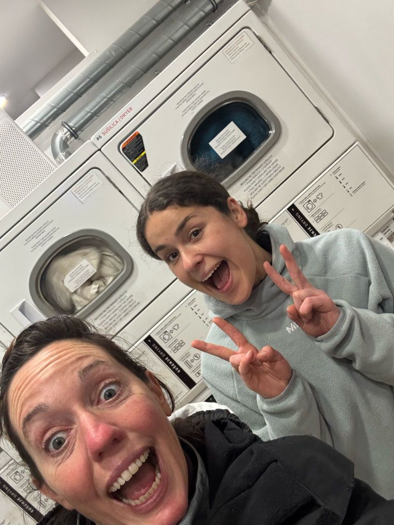
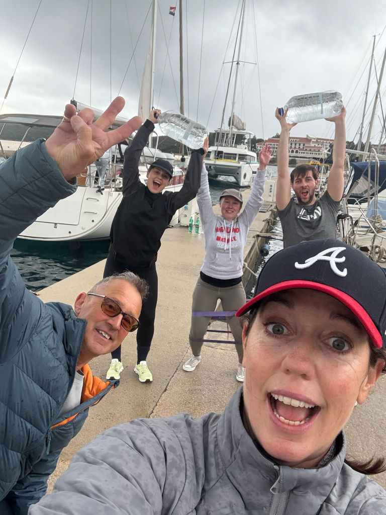
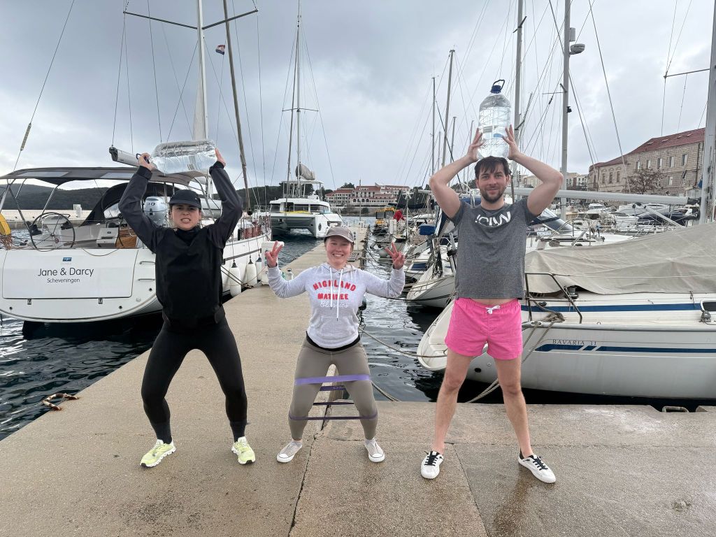
Once in Korcula we spent one night in Uvala Luka Banja. The next day a strong Bura wind made us choose to find a more comfortable shelter at ACI Marina Korcula. It its a small but excellent marina, and we were allowed an easy alongside mooring. We took the opportunity to visit the city, do laundry, refill the pantry and do some exercise.


Download here the waypoints for this trip – Warning, never use waypoints for navigation without previously validating them on your plotter.
Just outside Milna there is a sheltered bay where it is easy to set the sails up. But just after that there is a channel between the islands of Solta and Brac. The channel is a choke point. Most of the ferries and fast catamarans pass through it as they head to or come from Split. It is important to keep a good lookout. After the channel, proceed in a straight course at 200˚ for about 8 miles. Continue until the island of Hvar is left to port. Then the channel between Hvar and Palmizana becomes visible. Palmizana is beautiful and it has many anchorages. But today we must continue. We head southeast on a 110˚ course. First, we leave Palmisana to starboard. Then, we pass the islet of Pokolnji Dol (LH W TR FL(1) 4S) to starboard. The route continues on the same course for another 10 M, until the island of Scedro.
It is now time to change course. Head more S on a 120˚ course. This will help you reach the channel that separates the mainland from the island of Korcula.
Once at the entrance of the canal, we set for a more easterly route, 105˚. We continue this course for another 7 M, and we arrive at the approach to our destination: Uvala Luka Banja.
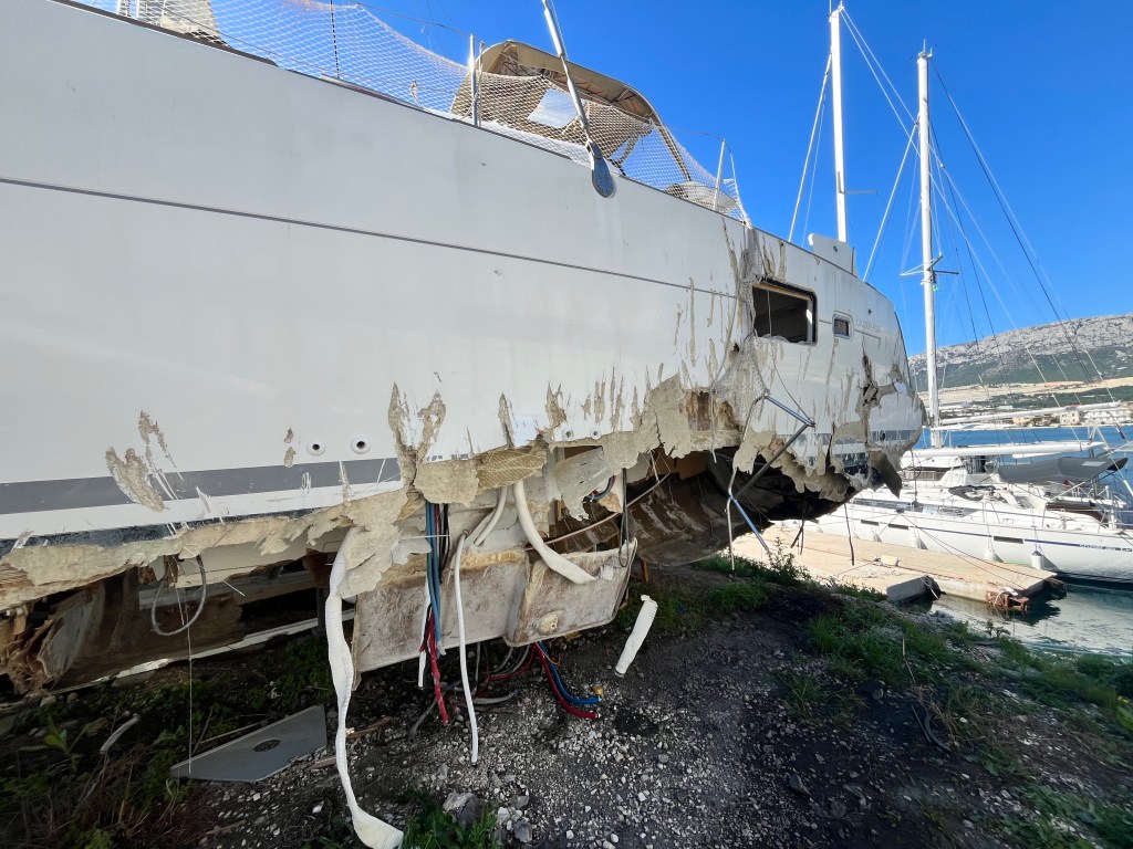
Wrecked boats found at the shipyard tell a story of careless anchoring.
While at the shipyard I saw several heavily damaged boats, especially catamarans.
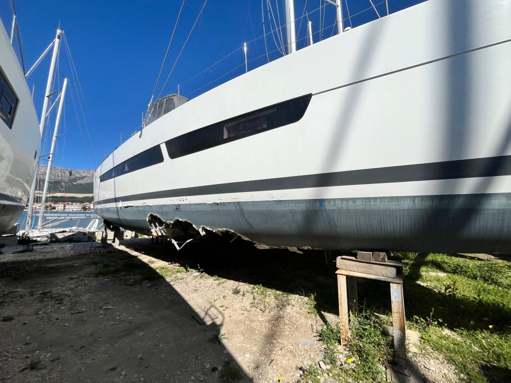
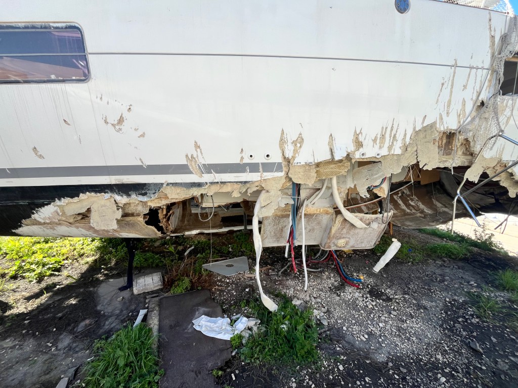
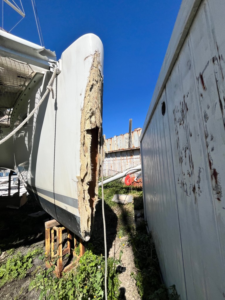
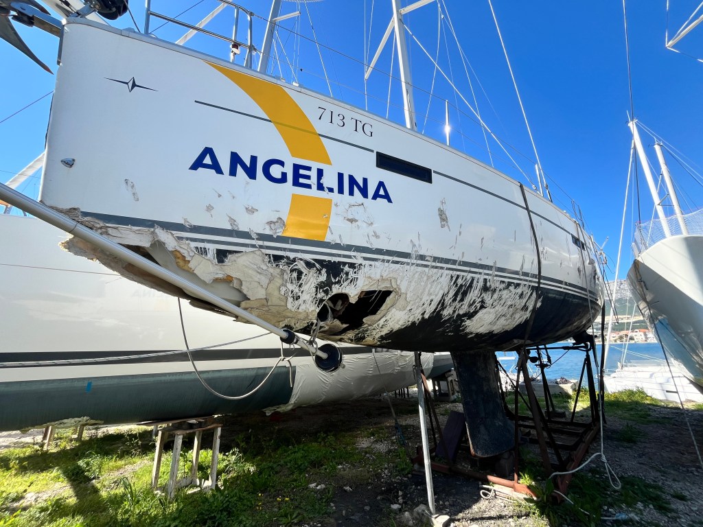
I asked around and found that last year there was an intense storm. It threw several boats on lee shores and sank a few others. This was a tough lesson for some charter captains. You should regularly refresh your knowledge about the weather conditions and choose proper anchorage. This is especially true in the light of the climate change.
You need to carefully assess the way you are anchoring and taking shelter. Charter boats often have very few meters of chain, making many anchorage impracticable or unsafe.
Interesting fact: these boats are bought and repaired by people who will sell them on the market. They will look fine, but how much can you trust a boat that has been damaged to such extent?
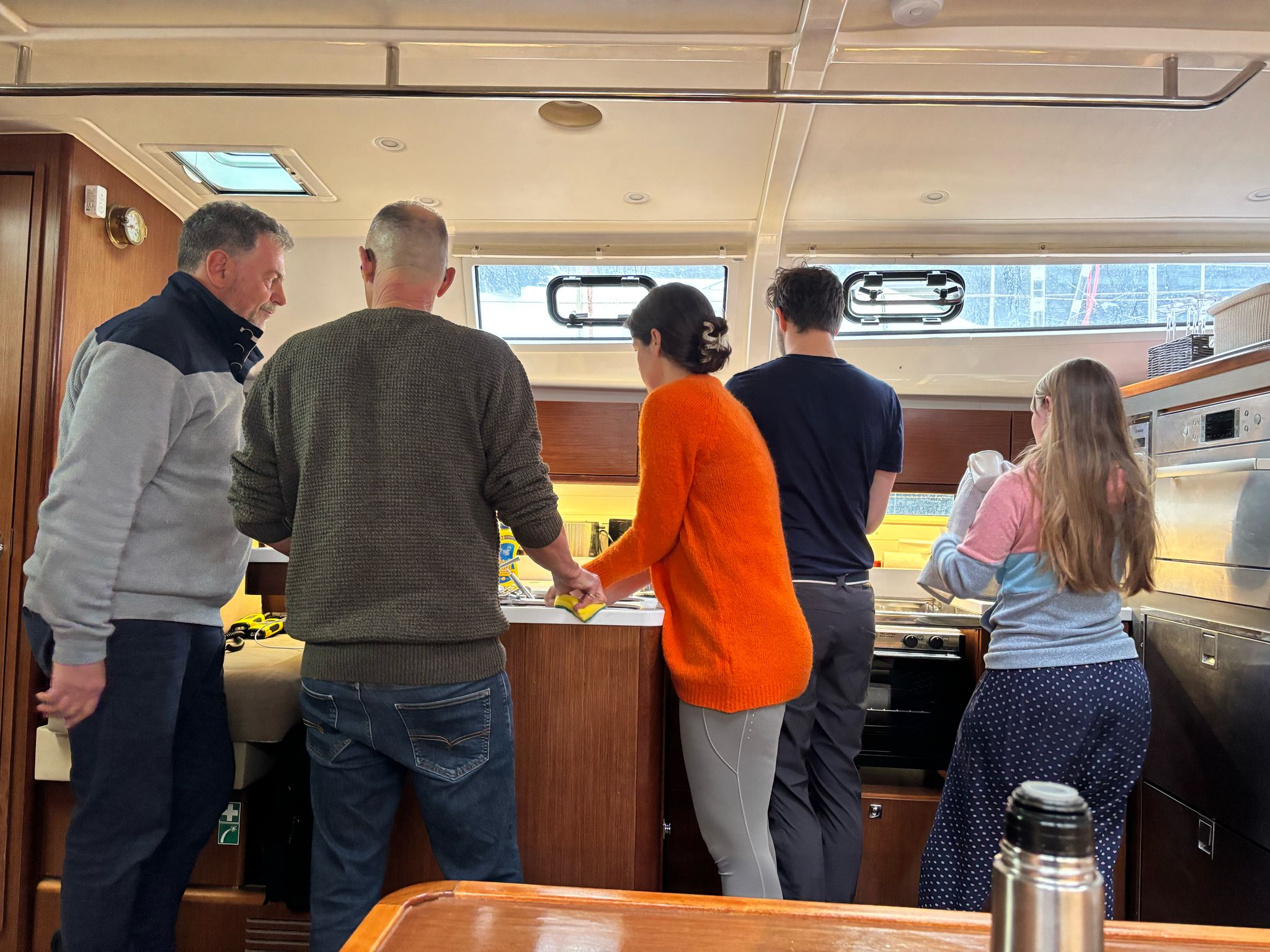
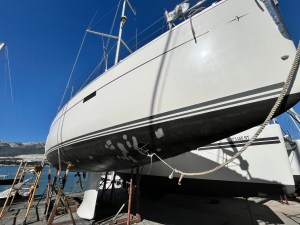
Jane & Darcy goes back to sailing after three weeks of shipyard work.
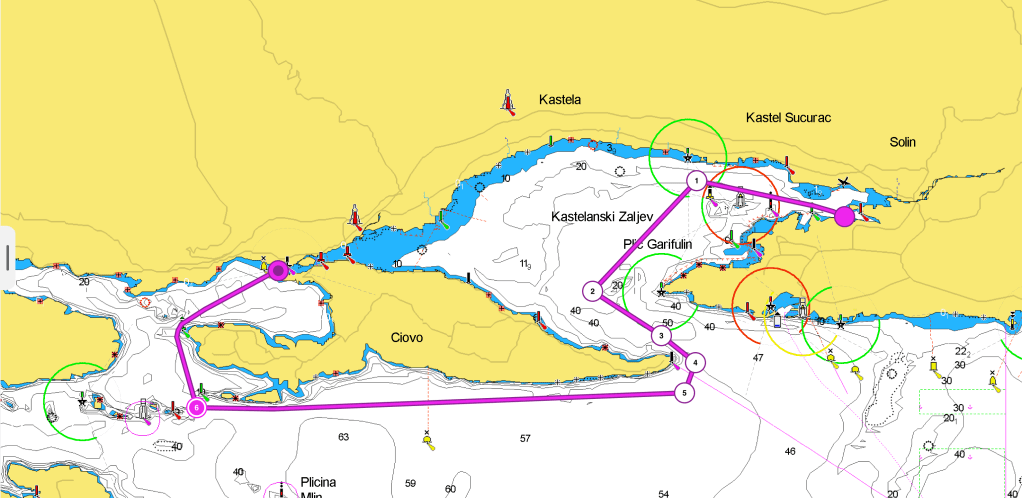
It was finally time to move out of MCI shipyard. Early on Saturday, I set sail from a desert dock. I was single-handed because my second was knocked out by a gastro-intestinal infection. I sailed towards Trogir to meet the rest of the crew. Once we had cleared the Galija LH, we found a nice wind of 14 – 18 Kn. We set up the sails, starting with a broad reach. Then we adjusted to a beam reach. Getting closer to the narrows I grew uncomfortable. The wind was now 24 – 28 Kn and increasing. It was backing rapidly. This forced us to tack. Finally, we started the engine. As we approached Ciova head, we encountered a strong current. It was up to 2-3 Knots. The SE wind was pushing the waves inside the gulf of Kastela. I decided to stay well away from the head, as I saw races and overfalls. The wind had passed 30 Knots by the time we left the cape to STBD. It was great to turn the bow to NW after some 30 minutes of breaking waves straight against our bow.
Proceeding along the S coast of Ciova, the sea conditions improved gradually from moderate to slight. When we entered the gulf of Trogir the situation improved greatly. It improved especially after the Okruk head SLM when the sea was calm.
Docking in Marina Trogir, we discovered it is a canal dock. The strong current we had encountered at the exit of the gulf of Kastela was pushing the water through the canal. This made it riverlike.
When leaving Split harbour, it can be quite busy. There are shipyards, commercial docks, huge tugs, a petroleum dock, and on the south side several obstacles. You first meet the Plic Silo IDM, then the Heidi Galija LH, followed by the Plic Galia IDM and NCM. Past the NCM it is possible to aim directly at the narrow delimited by Marjan (N) and Ciova (S) heads. Clear the Galija LH and head to the narrow to clear Ciova Head to your STB, then you will be out of the Gulf. Proceed along the coast until you reach the Zaporinovac SLM and head NNW to enter the gulf of Trogir.
Charts spread on the deck
New hands learn the skipper’s craft
Mljet’s green shores await

A busy and convenient shipyard
MCI stands more Marine Club International, however, do not be mistaken, it is a shipyard, not a marina.
Once you have set your expectations right, it is a great place to have your boat overhauled. It is incredibly busy. During the peak season, they move around 20 boats per day. There are no facilities because it is a shipyard. You have to take care when you move around. The place is not clean like a marina would be. But the work gets done, honestly, and well.
It is always exciting and terrifying to see your boat, your home, hanging from a crane. Everything can go bad in a moment. You don’t know whether you want to see, or it is better to be somewhere else. Everything was good this time. Finally, I managed to stop using precarious ladders to get on and off of our boat.